
Цифровой двойник карьера: как PhotoMesh и TerraExplorer считают объёмы вскрыши и запасов по дрон-съёмке
Ежемесячная маркшейдерская съёмка карьера — это риск устаревших данных уже на момент отчёта. Разбираем, как связка PhotoMesh, TerraBuilder и TerraExplorer превращает обычную дрон-съёмку в точный цифровой двойник для еженедельного учёта объёмов.
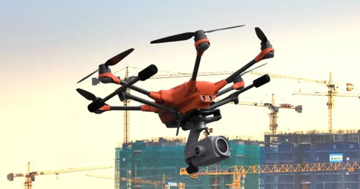
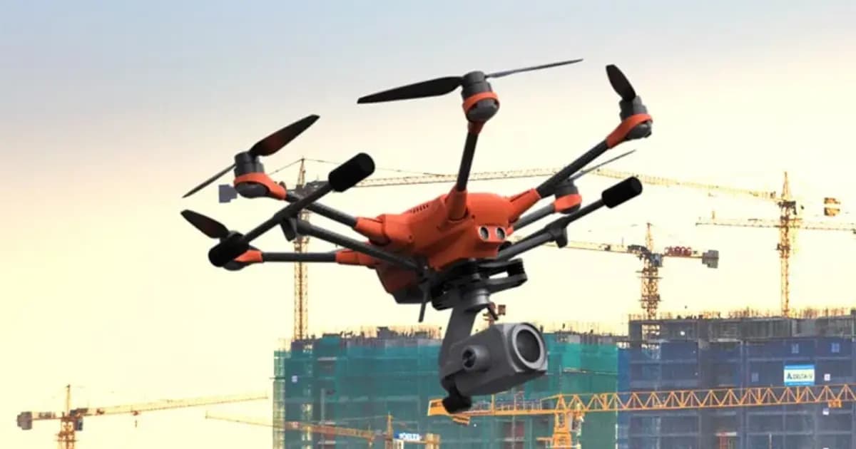
Маркшейдерская служба горнодобывающего предприятия традиционно считает объёмы вскрыши, отвалов и остатков запасов по данным выездной геодезической съёмки — тахеометром, реже наземным лазерным сканером. Проблема не в точности метода, а в его периодичности: между съёмками карьер продолжает меняться, и к моменту, когда отчёт попадает на стол главному инженеру, часть цифр уже устарела.
Дрон-фотограмметрия решает именно эту задачу — не заменяя маркшейдерскую съёмку юридически значимых границ, а закрывая интервалы между ней еженедельным или даже ежедневным контролем объёмов.
От серии снимков до 3D-модели карьера
PhotoMesh автоматически строит фотореалистичную 3D-модель по серии снимков дрона — без ручной сшивки и привязки контрольных точек вручную. На выходе — плотное облако точек и 3D-меш с точностью, достаточной для маркшейдерского учёта объёмов close-range методом.
TerraBuilder объединяет результат нескольких съёмок — а также спутниковые снимки и существующие цифровые модели рельефа — в единую геопривязанную террейн-базу. Это важно для карьеров, где съёмка ведётся по частям (например, разные борта карьера и отвалы в разные дни) или где нужно сопоставить новые данные с историческим рельефом.
Учёт объёмов в TerraExplorer
Готовая модель открывается в TerraExplorer Desktop, где инструмент измерения объёма сравнивает текущую поверхность с предыдущей съёмкой или с проектной моделью — и выдаёт разницу в кубометрах вскрыши, отвала или остатка запасов. Та же модель используется для контроля углов откоса бортов, ширины берм и соответствия факта горных работ проектному плану.
Через SkylineGlobe Server результат публикуется для доступа всей команде — от начальника участка до планового отдела — без необходимости устанавливать десктопное ПО на каждое рабочее место.
Оборудование по теме статьи
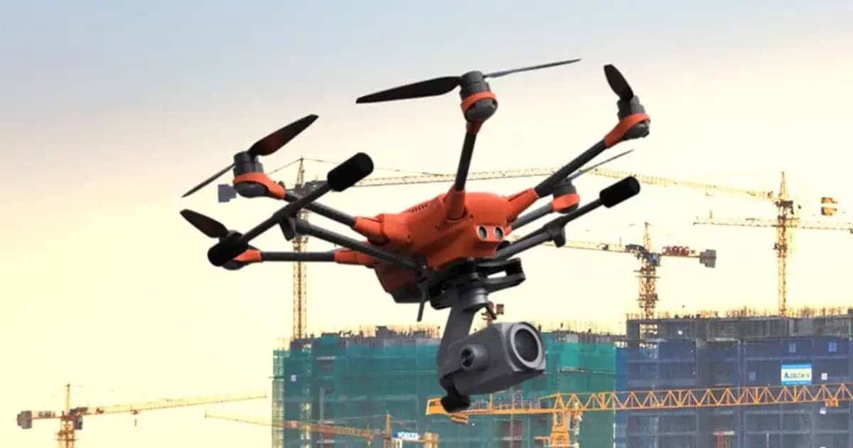
PhotoMesh — автоматическая фотограмметрия и 3D-реконструкция по фото
Полностью автоматизированная фотограмметрия: строит фотореалистичные 3D-меши, ортофото и облака точек из снимков БПЛА или наземной съёмки без ручной обработки
Что это меняет для предприятия
- Периодичность контроля. Вместо ежемесячной геодезической съёмки — еженедельный или ежедневный облёт дроном с автоматическим пересчётом объёмов.
- Более ранние сигналы отклонений. Расхождение фактических объёмов с планом горных работ становится видно за недели, а не в конце отчётного периода.
- Единая база для разных служб. Одна и та же 3D-модель карьера используется маркшейдерами для учёта объёмов, службой безопасности — для контроля устойчивости бортов, а руководством — для presentation и планирования.
Вывод
Дрон-фотограмметрия не отменяет традиционную маркшейдерскую съёмку, но радикально меняет её периодичность. Связка PhotoMesh → TerraBuilder → TerraExplorer превращает регулярный облёт карьера дроном в источник данных для еженедельного, а не ежемесячного контроля объёмов — при той точности, которая нужна для промышленного учёта.
KEG TRK — партнёр Skyline Software в Казахстане. Поможем подобрать конфигурацию PhotoMesh и TerraExplorer под конкретный карьер, отвал или производственную площадку. Свяжитесь с нами, чтобы обсудить внедрение.
Оборудование в статье
Цены и сроки поставки в Казахстан KEG TRK сообщает по запросу. Подготовим коммерческое предложение под вашу задачу.
PhotoMesh — автоматическая фотограмметрия и 3D-реконструкция по фото
Полностью автоматизированная фотограмметрия: строит фотореалистичные 3D-меши, ортофото и облака точек из снимков БПЛА или наземной съёмки без ручной обработки
TerraBuilder — построение геопространственной базы данных рельефа
Профессиональный инструмент для объединения аэро- и спутниковых снимков и цифровых моделей рельефа в единую геопривязанную террейн-базу для TerraExplorer
Также в статье: TerraExplorer Desktop — 3D ГИС-платформа и цифровой двойник объекта, SkylineGlobe Server — сервер публикации и потоковой раздачи 3D-геоданных
Читайте также
09.09.2026
3D ГИС и цифровые двойники Skyline Software в Казахстане: от маркшейдерии до управления предприятиями
Практическое руководство по внедрению 3D ГИС Skyline Software в Казахстане: фотограмметрия PhotoMesh, 3D Gaussian Splatting, геосервер SkylineGlobe и анализ в TerraExplorer для горнодобывающей промышленности и инфраструктуры.
04.09.2026
Удалённая инспекция энергообъекта без установки ПО: цифровой двойник в браузере на TerraExplorer Fusion
Подрядчику или удалённому инженеру для осмотра объекта не всегда нужен выезд — если есть актуальный цифровой двойник. Разбираем, как TerraExplorer Fusion даёт браузерный доступ к 3D-модели энергообъекта без установки специализированного ПО.
22.07.2026
Управление смазкой подшипников ультразвуком SDT: 70% точек пересмазывают
Исследования SDT по заводам: при переходе с формул расхода на LUBExpert ~70% подшипников оказались пересмазаны, 15% — недосмазаны, лишь 15% — в норме. Как ультразвук задаёт дозу и интервал.