
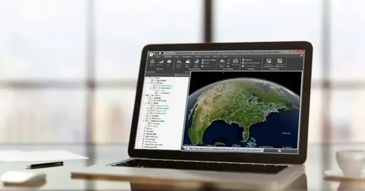
Поставка в Казахстане
KEG TRK поставляет решения для диагностики оборудования (Skyline Software) по всему Казахстану: Алматы, Астана, Караганда, Усть-Каменогорск, Актобе и другие регионы. Официальная гарантия, проектирование систем мониторинга, монтаж, пусконаладка и обучение персонала.
Ключевые особенности
Применения и полезные материалы
Отраслевые решения, лендинги и статьи по TerraExplorer Desktop — 3D ГИС-платформа и цифровой двойник объекта
Типовые задачи
- Цифровой двойник промышленной площадки, завода, карьера или ГОК
- Удалённый инспекционный контроль конструкций, эстакад и резервуаров
- Мониторинг горных работ и складов ГОК по данным БПЛА
- Градостроительное планирование и трёхмерный кадастр
- Анализ зон видимости и зоны покрытия для безопасности и связи
Описание
TerraExplorer Desktop — флагманская 3D ГИС-платформа Skyline Software для создания и анализа цифрового двойника территории или объекта. Программа объединяет в единой 3D-сцене рельеф, спутниковые и БПЛА-снимки, фотореалистичные 3D-мешы, BIM- и CAD-модели зданий, облака точек лазерного сканирования и векторные слои — и даёт полный набор инструментов для измерения, анализа и презентации этих данных.
Рабочее место инженера и аналитика
В отличие от стандартных двумерных ГИС, TerraExplorer работает в полноценном 3D с честным рельефом и высокой точностью координат. Инженер или маркшейдер может:
- измерить расстояния, площади, высоты и объёмы выемки/насыпи;
- построить профиль рельефа вдоль трассы трубопровода или дороги;
- рассчитать зону видимости из точки (viewshed) или анализ затенения;
- связать элементы 3D-модели с атрибутивной базой данных (1С, ERP, EAM).
Встроенный Photo Inspector
Уникальная функция TerraExplorer — интеграция с PhotoMesh через модуль Photo Inspector. Кликнув на любую точку 3D-модели (например, дефект на эстакаде), специалист мгновенно открывает исходные высокодетализированные фотографии с БПЛА или камеры, на которых видна эта точка. Это позволяет вести инспекцию оборудования на экране, не поднимаясь на высоту.
KEG TRK — партнёр Skyline Software в Казахстане: поставка лицензий TerraExplorer, консультации по внедрению цифрового двойника предприятия и интеграции с существующими данными БПЛА- и лазерной съёмки.
Три уровня функциональности
- TerraExplorer Viewer — просмотр и базовый анализ готовой 3D-сцены;
- TerraExplorer Plus — загрузка и редактирование всех типов слоёв, продвинутые инструменты анализа, совместная работа нескольких пользователей;
- TerraExplorer Pro — публикация проектов на сервер SkylineGlobe, конвертация и оптимизация моделей для потоковой передачи.
Инструменты анализа
Расстояние, площадь, объём, профиль рельефа, видимость (line of sight), зона видимости (viewshed), теневой анализ, сравнение моделей во времени, сечение — полный набор для инженерных и управленческих решений прямо в 3D-сцене, без переключения в отдельные ГИС-инструменты.
Технические характеристики
| Производитель | Skyline Software |
| Платформа | Windows Desktop |
| Входные слои | 3D mesh (3DML, 3D Tiles), Lidar (LAS/E57), BIM (IFC), GIS (SHP, KML, KML/KMZ), растры |
| Редакции | Viewer, Plus, Pro |
| Интеграция | SkylineGlobe Server, Esri ArcGIS, QGIS |
Области применения
Производитель
Skyline Software
Настольная 3D ГИС-платформа для создания, просмотра и анализа цифрового двойника объекта: рельеф, ортофото, 3D-меши, BIM/CAD, облака точек — в одной сцене
Основные характеристики
- Производитель
- Skyline Software
- Платформа
- Windows Desktop
- Входные слои
- 3D mesh (3DML, 3D Tiles), Lidar (LAS/E57), BIM (IFC), GIS (SHP, KML, KML/KMZ), растры
- Редакции
- Viewer, Plus, Pro
- Интеграция
- SkylineGlobe Server, Esri ArcGIS, QGIS
Официальный поставщик в Казахстане
Связанные продукты
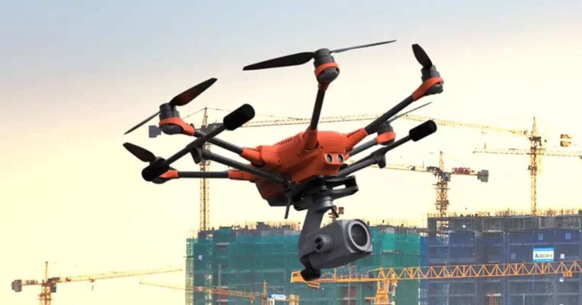
PhotoMesh — автоматическая фотограмметрия и 3D-реконструкция по фото
Полностью автоматизированная фотограмметрия: строит фотореалистичные 3D-меши, ортофото и облака точек из снимков БПЛА или наземной съёмки без ручной обработки
- Skyline Software
- ПО фотограмметрической 3D-реконструкции
SkylineGlobe Server — сервер публикации и потоковой раздачи 3D-геоданных
Приватный облачный сервер для хранения, управления и потоковой раздачи 2D/3D геопространственных данных — совместим с TerraExplorer, Esri, Cesium и QGIS
- Skyline Software
- Сервер публикации и стриминга геоданных
TerraBuilder — построение геопространственной базы данных рельефа
Профессиональный инструмент для объединения аэро- и спутниковых снимков и цифровых моделей рельефа в единую геопривязанную террейн-базу для TerraExplorer
- Skyline Software
- ПО построения террейн-базы данных
Нужна консультация?
Наши специалисты помогут подобрать оптимальную конфигурацию TerraExplorer Desktop — 3D ГИС-платформа и цифровой двойник объекта для вашего оборудования.
Статьи и материалы по теме
Все статьи →3D ГИС и цифровые двойники Skyline Software в Казахстане: от маркшейдерии до управления предприятиями
Практическое руководство по внедрению 3D ГИС Skyline Software в Казахстане: фотограмметрия PhotoMesh, 3D Gaussian Splatting, геосервер SkylineGlobe и анализ в TerraExplorer для горнодобывающей промышленности и инфраструктуры.
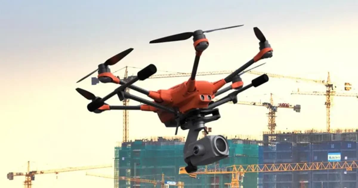
Цифровой двойник карьера: как PhotoMesh и TerraExplorer считают объёмы вскрыши и запасов по дрон-съёмке
Ежемесячная маркшейдерская съёмка карьера — это риск устаревших данных уже на момент отчёта. Разбираем, как связка PhotoMesh, TerraBuilder и TerraExplorer превращает обычную дрон-съёмку в точный цифровой двойник для еженедельного учёта объёмов.