
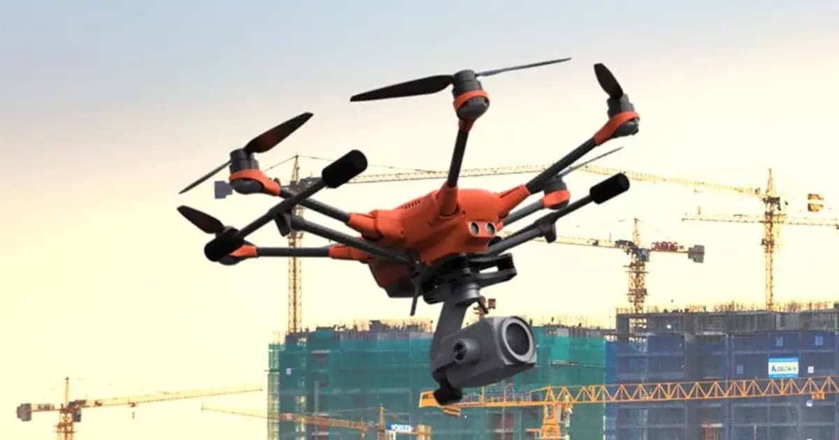
Поставка в Казахстане
KEG TRK поставляет решения для диагностики оборудования (Skyline Software) по всему Казахстану: Алматы, Астана, Караганда, Усть-Каменогорск, Актобе и другие регионы. Официальная гарантия, проектирование систем мониторинга, монтаж, пусконаладка и обучение персонала.
Ключевые особенности
Применения и полезные материалы
Отраслевые решения, лендинги и статьи по PhotoMesh — автоматическая фотограмметрия и 3D-реконструкция по фото
Типовые задачи
- БПЛА-инспекция карьеров, отвалов и промышленных площадок
- Виртуальный контроль состояния зданий, эстакад, резервуаров и труб
- Учёт объёмов складов и отвалов ГОК по облаку точек
- Картографирование месторождений и трасс линейных объектов
- Формирование исходных данных для цифрового двойника предприятия в TerraExplorer
Описание
PhotoMesh — программа для полностью автоматизированной фотограмметрии: превращает набор фотографий (с БПЛА, наземной камеры или их комбинации) в фотореалистичную 3D-модель местности или объекта. В основе — алгоритмы компьютерного зрения и вычислительной геометрии, которые сами находят связи между снимками, восстанавливают геометрию и накладывают текстуры без ручной сшивки.
Два масштаба задач
- 3D-картографирование — модели города, карьера или инфраструктурного объекта масштаба, с точной геопривязкой для градостроительства, управления инфраструктурой и ГИС;
- Цифровой двойник для инспекции (close-range) — модели с точностью до долей миллиметра для дистанционного контроля состояния конструкций, что убирает риск человеческой ошибки и стоимость традиционного выездного осмотра.
Результат экспортируется в широкий набор форматов — 3D mesh, облако точек, ортофото, цифровые модели поверхности и рельефа (DSM/DTM) — для использования в TerraExplorer, сторонних ГИС или собственных ML/AI-инструментах анализа.
Производительность и масштаб
PhotoMesh построен для проектов любого размера: от одного объекта до сотен тысяч фотографий. Тайловая архитектура и поддержка распределённых вычислений (на нескольких машинах-fuser или в облаке) позволяют считать десятки квадратных километров в сутки, а REST API — встроить обработку в автоматизированный производственный конвейер без участия оператора.
Для промышленных предприятий Казахстана PhotoMesh закрывает задачу, которую раньше решали только выездной геодезией или дорогим лазерным сканированием: регулярный, воспроизводимый 3D-контроль карьеров, отвалов, площадок и протяжённых объектов по данным обычной БПЛА-съёмки.
Технические характеристики
| Производитель | Skyline Software |
| Тип | ПО фотограмметрической 3D-реконструкции |
| Входные данные | Фото (JPG, TIFF), видео, Lidar (LAS, E57), мультиспектральные снимки |
| Выходные форматы | 3D mesh, облако точек, ортофото, DSM, DTM/DEM |
| Обработка | Локальный ПК, кластер (fuser), облако |
Области применения
Производитель
Skyline Software
Полностью автоматизированная фотограмметрия: строит фотореалистичные 3D-меши, ортофото и облака точек из снимков БПЛА или наземной съёмки без ручной обработки
Основные характеристики
- Производитель
- Skyline Software
- Тип
- ПО фотограмметрической 3D-реконструкции
- Входные данные
- Фото (JPG, TIFF), видео, Lidar (LAS, E57), мультиспектральные снимки
- Выходные форматы
- 3D mesh, облако точек, ортофото, DSM, DTM/DEM
- Обработка
- Локальный ПК, кластер (fuser), облако
Официальный поставщик в Казахстане
Связанные продукты
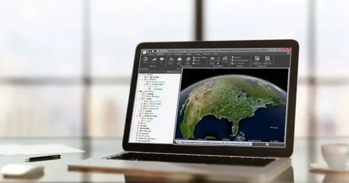
TerraExplorer Desktop — 3D ГИС-платформа и цифровой двойник объекта
Настольная 3D ГИС-платформа для создания, просмотра и анализа цифрового двойника объекта: рельеф, ортофото, 3D-меши, BIM/CAD, облака точек — в одной сцене
- Skyline Software
- Windows Desktop
TerraBuilder — построение геопространственной базы данных рельефа
Профессиональный инструмент для объединения аэро- и спутниковых снимков и цифровых моделей рельефа в единую геопривязанную террейн-базу для TerraExplorer
- Skyline Software
- ПО построения террейн-базы данных
SkylineGlobe Server — сервер публикации и потоковой раздачи 3D-геоданных
Приватный облачный сервер для хранения, управления и потоковой раздачи 2D/3D геопространственных данных — совместим с TerraExplorer, Esri, Cesium и QGIS
- Skyline Software
- Сервер публикации и стриминга геоданных
Нужна консультация?
Наши специалисты помогут подобрать оптимальную конфигурацию PhotoMesh — автоматическая фотограмметрия и 3D-реконструкция по фото для вашего оборудования.
Статьи и материалы по теме
Все статьи →3D ГИС и цифровые двойники Skyline Software в Казахстане: от маркшейдерии до управления предприятиями
Практическое руководство по внедрению 3D ГИС Skyline Software в Казахстане: фотограмметрия PhotoMesh, 3D Gaussian Splatting, геосервер SkylineGlobe и анализ в TerraExplorer для горнодобывающей промышленности и инфраструктуры.
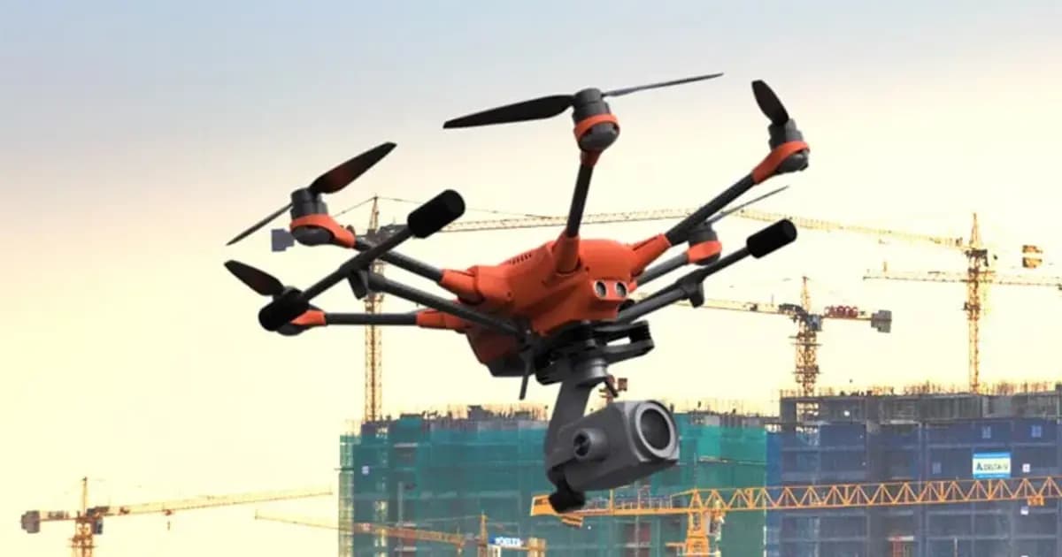
Цифровой двойник карьера: как PhotoMesh и TerraExplorer считают объёмы вскрыши и запасов по дрон-съёмке
Ежемесячная маркшейдерская съёмка карьера — это риск устаревших данных уже на момент отчёта. Разбираем, как связка PhotoMesh, TerraBuilder и TerraExplorer превращает обычную дрон-съёмку в точный цифровой двойник для еженедельного учёта объёмов.