

Поставка в Казахстане
KEG TRK поставляет решения для диагностики оборудования (Skyline Software) по всему Казахстану: Алматы, Астана, Караганда, Усть-Каменогорск, Актобе и другие регионы. Официальная гарантия, проектирование систем мониторинга, монтаж, пусконаладка и обучение персонала.
Ключевые особенности
Применения и полезные материалы
Отраслевые решения, лендинги и статьи по SkylineGlobe Server — сервер публикации и потоковой раздачи 3D-геоданных
Типовые задачи
- Единая точка доступа к 3D-модели предприятия для разных отделов
- Публикация цифрового двойника для совместной работы удалённых площадок
- Интеграция геоданных с уже используемой ГИС-платформой (Esri, QGIS)
- Централизованный каталог геопространственных данных компании
Описание
SkylineGlobe Server — приватное облачное (или локальное) решение для хранения, управления и потоковой раздачи 2D- и 3D-геопространственных данных. Сервер публикует все типы слоёв — 3D-меши, облака точек, растровые изображения, модели рельефа и векторные объекты — и делает их доступными настольным, веб- и мобильным клиентам без раздачи «сырых» файлов.
Данные — всем клиентам, в их формате
Сервер обслуживает не только собственные продукты Skyline (TerraExplorer Desktop, Fusion, Mobile), но и сторонние платформы: ArcGIS Earth/Pro/Online через I3S/SLPK и WMS/WMTS, а также Cesium и QGIS через 3D Tiles и WFS/WFS-T. Для предприятия, где часть команд уже работает в Esri или открытых ГИС-инструментах, это означает единый источник геоданных без дублирования и ручного экспорта.
Безопасность и масштаб
Данные защищены на уровне виртуальных приватных серверов («сайтов») — полное разделение слоёв и администрирования между клиентами или подразделениями на одной инсталляции, с собственной системой аутентификации или готовой встроенной. При росте нагрузки сервер масштабируется в облаке (AWS, Google Cloud, Azure) с динамическим кластером и распределением нагрузки, либо через управляемый сервис SkylineCloud.
Централизованный каталог
Все опубликованные слои автоматически каталогизируются с метаданными, что даёт мощный поиск и упорядоченный доступ — критично, когда у предприятия десятки площадок и накопленные годами массивы БПЛА- и лазерной съёмки.
Публикация из TerraExplorer Pro или TerraBuilder выполняется одной операцией и сразу становится доступной всем клиентам — Desktop, Web (Fusion) и Mobile.
Технические характеристики
| Производитель | Skyline Software |
| Тип | Сервер публикации и стриминга геоданных |
| Клиенты | TerraExplorer, ArcGIS Earth/Pro/Online, Cesium, QGIS |
| Форматы раздачи | 3D Tiles, I3S/SLPK, WMS/WMTS, WFS/WFS-T |
| Развёртывание | On-premise или облако (AWS/Google Cloud/Azure) |
Области применения
Производитель
Skyline Software
Приватный облачный сервер для хранения, управления и потоковой раздачи 2D/3D геопространственных данных — совместим с TerraExplorer, Esri, Cesium и QGIS
Основные характеристики
- Производитель
- Skyline Software
- Тип
- Сервер публикации и стриминга геоданных
- Клиенты
- TerraExplorer, ArcGIS Earth/Pro/Online, Cesium, QGIS
- Форматы раздачи
- 3D Tiles, I3S/SLPK, WMS/WMTS, WFS/WFS-T
- Развёртывание
- On-premise или облако (AWS/Google Cloud/Azure)
Официальный поставщик в Казахстане
Связанные продукты
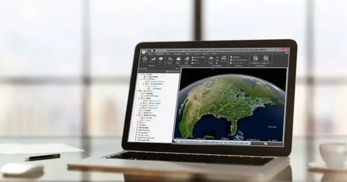
TerraExplorer Desktop — 3D ГИС-платформа и цифровой двойник объекта
Настольная 3D ГИС-платформа для создания, просмотра и анализа цифрового двойника объекта: рельеф, ортофото, 3D-меши, BIM/CAD, облака точек — в одной сцене
- Skyline Software
- Windows Desktop
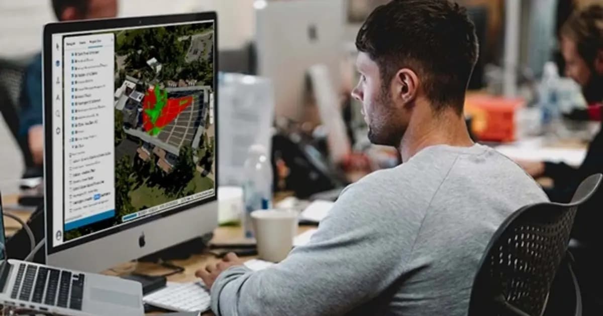
TerraExplorer Fusion — веб-просмотр 3D-геоданных без установки
Веб-версия TerraExplorer: просмотр, измерение и анализ высокодетального 3D-двойника прямо в браузере — без установки, на Windows, Mac, Linux
- Skyline Software
- TerraExplorer Fusion (Viewer / Plus)
TerraBuilder — построение геопространственной базы данных рельефа
Профессиональный инструмент для объединения аэро- и спутниковых снимков и цифровых моделей рельефа в единую геопривязанную террейн-базу для TerraExplorer
- Skyline Software
- ПО построения террейн-базы данных
Нужна консультация?
Наши специалисты помогут подобрать оптимальную конфигурацию SkylineGlobe Server — сервер публикации и потоковой раздачи 3D-геоданных для вашего оборудования.
Статьи и материалы по теме
Все статьи →3D ГИС и цифровые двойники Skyline Software в Казахстане: от маркшейдерии до управления предприятиями
Практическое руководство по внедрению 3D ГИС Skyline Software в Казахстане: фотограмметрия PhotoMesh, 3D Gaussian Splatting, геосервер SkylineGlobe и анализ в TerraExplorer для горнодобывающей промышленности и инфраструктуры.

Цифровой двойник карьера: как PhotoMesh и TerraExplorer считают объёмы вскрыши и запасов по дрон-съёмке
Ежемесячная маркшейдерская съёмка карьера — это риск устаревших данных уже на момент отчёта. Разбираем, как связка PhotoMesh, TerraBuilder и TerraExplorer превращает обычную дрон-съёмку в точный цифровой двойник для еженедельного учёта объёмов.
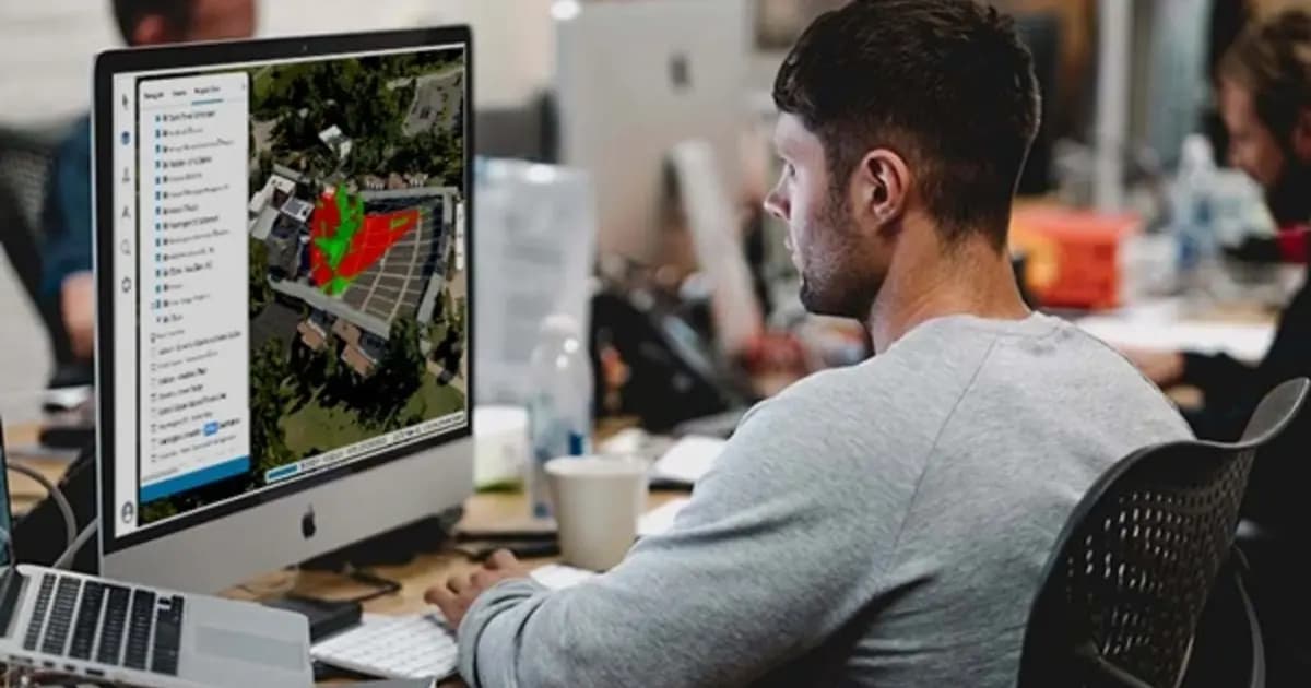
Удалённая инспекция энергообъекта без установки ПО: цифровой двойник в браузере на TerraExplorer Fusion
Подрядчику или удалённому инженеру для осмотра объекта не всегда нужен выезд — если есть актуальный цифровой двойник. Разбираем, как TerraExplorer Fusion даёт браузерный доступ к 3D-модели энергообъекта без установки специализированного ПО.