Поставка в Казахстане
KEG TRK поставляет решения для диагностики оборудования (Skyline Software) по всему Казахстану: Алматы, Астана, Караганда, Усть-Каменогорск, Актобе и другие регионы. Официальная гарантия, проектирование систем мониторинга, монтаж, пусконаладка и обучение персонала.
Ключевые особенности
Применения и полезные материалы
Отраслевые решения, лендинги и статьи по TerraExplorer Fusion — веб-просмотр 3D-геоданных без установки
Типовые задачи
- Доступ к цифровому двойнику предприятия для сотрудников без установки ПО
- Удалённая совместная работа распределённых команд и подрядчиков
- Публичные геопорталы для муниципальных и инфраструктурных проектов
- Быстрый просмотр модели инспекции с мобильного или чужого компьютера
Описание
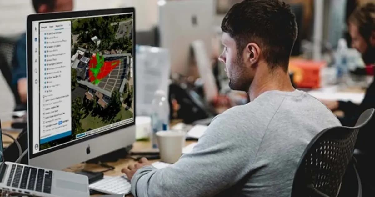
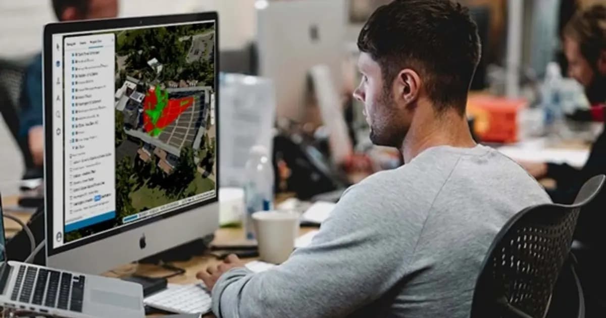
TerraExplorer Fusion — веб-версия платформы TerraExplorer: та же среда просмотра и анализа высокодетальных 3D-геоданных, но полностью в браузере, без установки клиентского ПО. Слои — рельеф, снимки, 3D-меши, BIM/CAD-модели, облака точек, векторные объекты — загружаются напрямую с SkylineGlobe Server или других серверов геоданных.
Две версии под разные задачи
Viewer — просмотр и анализ уже опубликованных данных: измерения, видимость, профиль рельефа, сравнение моделей во времени. Plus — расширяет это загрузкой любых типов слоёв с сервера, редактированием векторных объектов с автосохранением, и более тесной интеграцией с SkylineGlobe Server для прямой публикации проектов.
Тот же инспектор, что и на десктопе
Ключевой инструмент — просмотр 3D-модели PhotoMesh вместе с исходными фотографиями прямо в браузере, без потери детализации и без искажений. Это даёт полевому инженеру или подрядчику возможность проверить состояние объекта удалённо, с любого устройства, без установки специализированного ПО.
Кроссплатформенность как основа доступа
Fusion работает на Windows, Mac и Linux в любом современном браузере — что снимает барьер входа для команд, которые используют разное оборудование: от инженеров на рабочих станциях до руководителей, которым нужен быстрый обзор модели с ноутбука вне офиса.
Для предприятий с распределёнными площадками и подрядчиками Fusion — самый быстрый способ дать доступ к цифровому двойнику объекта людям, которым не нужна (или недоступна) установка полноценного десктопного клиента.
Технические характеристики
| Производитель | Skyline Software |
| Линейка | TerraExplorer Fusion (Viewer / Plus) |
| Тип | Веб-клиент 3D ГИС |
| Требования | Современный браузер, доступ к SkylineGlobe Server |
| Форматы | 3D mesh, облако точек, imagery, elevation, feature layers |
Области применения
Производитель
Skyline Software
Веб-версия TerraExplorer: просмотр, измерение и анализ высокодетального 3D-двойника прямо в браузере — без установки, на Windows, Mac, Linux
Основные характеристики
- Производитель
- Skyline Software
- Линейка
- TerraExplorer Fusion (Viewer / Plus)
- Тип
- Веб-клиент 3D ГИС
- Требования
- Современный браузер, доступ к SkylineGlobe Server
- Форматы
- 3D mesh, облако точек, imagery, elevation, feature layers
Официальный поставщик в Казахстане
Связанные продукты

SkylineGlobe Server — сервер публикации и потоковой раздачи 3D-геоданных
Приватный облачный сервер для хранения, управления и потоковой раздачи 2D/3D геопространственных данных — совместим с TerraExplorer, Esri, Cesium и QGIS
- Skyline Software
- Сервер публикации и стриминга геоданных
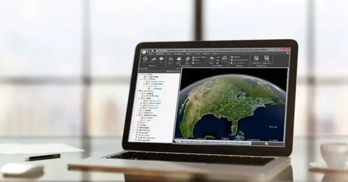
TerraExplorer Desktop — 3D ГИС-платформа и цифровой двойник объекта
Настольная 3D ГИС-платформа для создания, просмотра и анализа цифрового двойника объекта: рельеф, ортофото, 3D-меши, BIM/CAD, облака точек — в одной сцене
- Skyline Software
- Windows Desktop
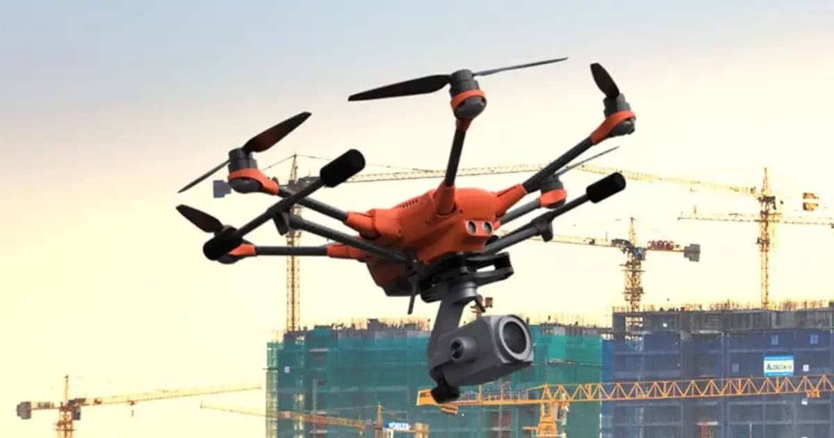
PhotoMesh — автоматическая фотограмметрия и 3D-реконструкция по фото
Полностью автоматизированная фотограмметрия: строит фотореалистичные 3D-меши, ортофото и облака точек из снимков БПЛА или наземной съёмки без ручной обработки
- Skyline Software
- ПО фотограмметрической 3D-реконструкции
Нужна консультация?
Наши специалисты помогут подобрать оптимальную конфигурацию TerraExplorer Fusion — веб-просмотр 3D-геоданных без установки для вашего оборудования.