
Партнёр KEG TRK · Skyline Казахстан
Skyline Software в Казахстане — 3D ГИС и цифровые двойники
Skyline Software превращает аэро-, БПЛА- и дрон-снимки, лазерное сканирование и картографические данные в фотореалистичный 3D цифровой двойник объекта — карьера, завода, инфраструктуры или всего города
KEG TRK — партнёр Skyline Software в Казахстане: поставка ПО, консультации по внедрению и интеграции с существующими данными съёмки с БПЛА, дронов и лазеров.
Организуем онлайн-семинар по Skyline специально для вашей компании
В формате вебинара покажем построение 3D цифрового двойника по вашим данным съёмки с БПЛА и ответим на вопросы инженеров и маркшейдеров.
Продукты Skyline Software
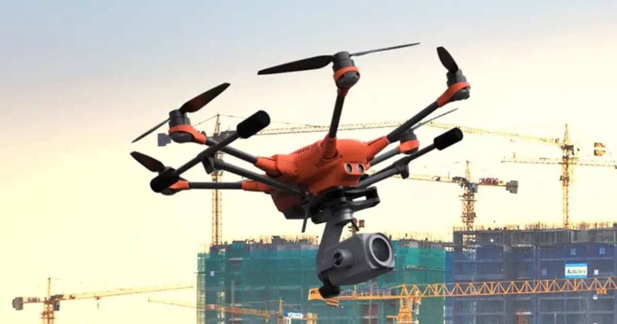
PhotoMesh — автоматическая фотограмметрия и 3D-реконструкция по фото
Полностью автоматизированная фотограмметрия: строит фотореалистичные 3D-меши, ортофото и облака точек из снимков БПЛА или наземной съёмки без ручной обработки
- Skyline Software
- ПО фотограмметрической 3D-реконструкции
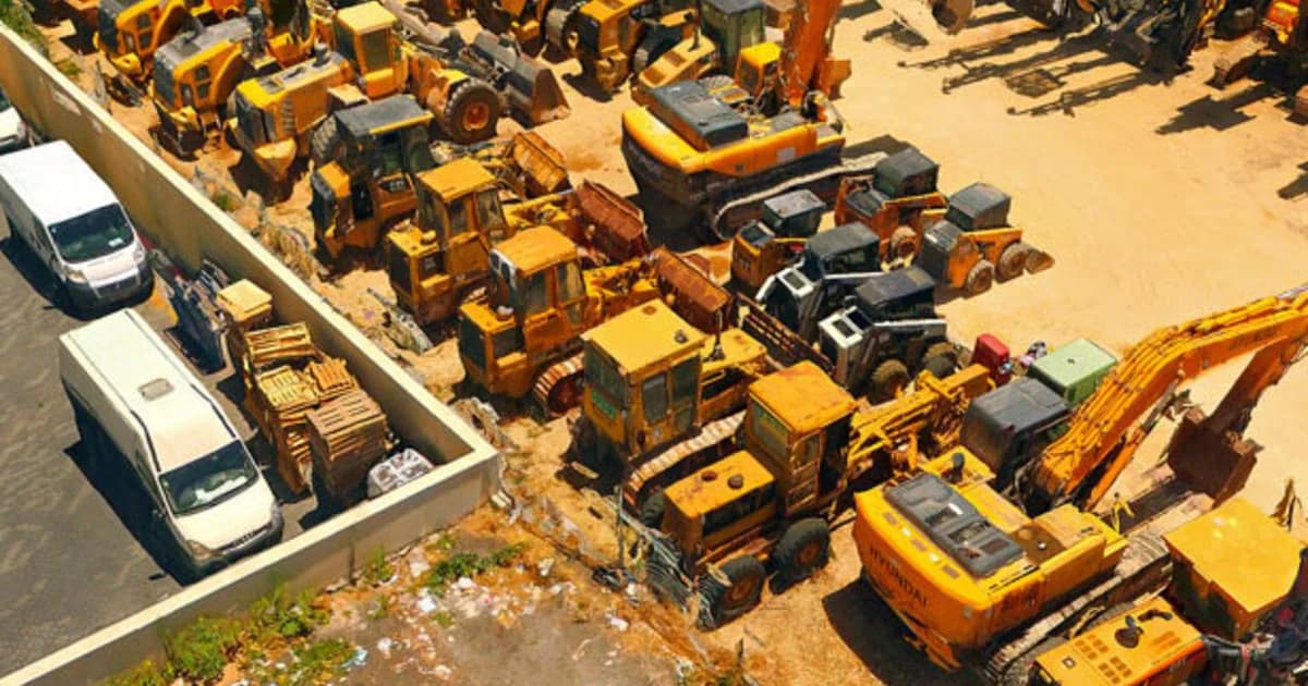
PhotoMesh Production — облачная обработка фотограмметрии под ключ
Облачная услуга SkylineCloud: обработка БПЛА- и аэросъёмки в PhotoMesh без покупки ПО и собственных вычислительных мощностей — автоматически на AWS или вручную силами экспертов Skyline
- Skyline Software
- SkylineCloud (на базе AWS)
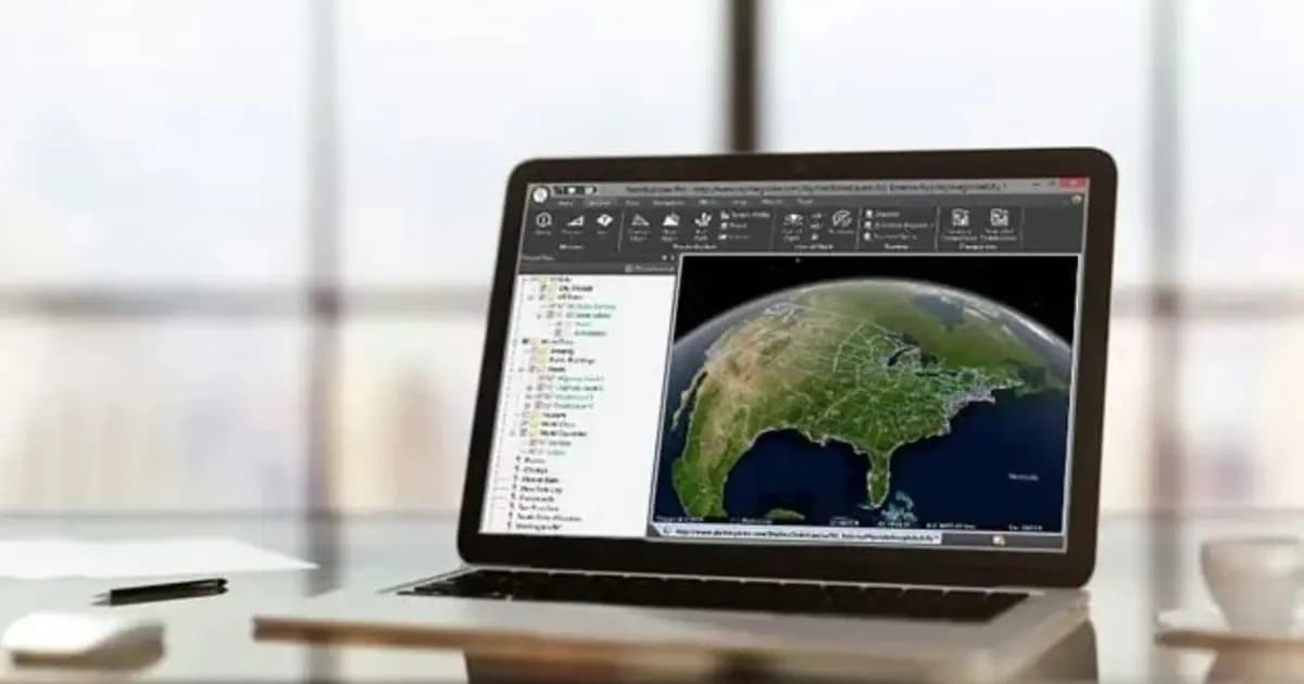
TerraExplorer Desktop — 3D ГИС-платформа и цифровой двойник объекта
Настольная 3D ГИС-платформа для создания, просмотра и анализа цифрового двойника объекта: рельеф, ортофото, 3D-меши, BIM/CAD, облака точек — в одной сцене
- Skyline Software
- Windows Desktop
TerraBuilder — построение геопространственной базы данных рельефа
Профессиональный инструмент для объединения аэро- и спутниковых снимков и цифровых моделей рельефа в единую геопривязанную террейн-базу для TerraExplorer
- Skyline Software
- ПО построения террейн-базы данных
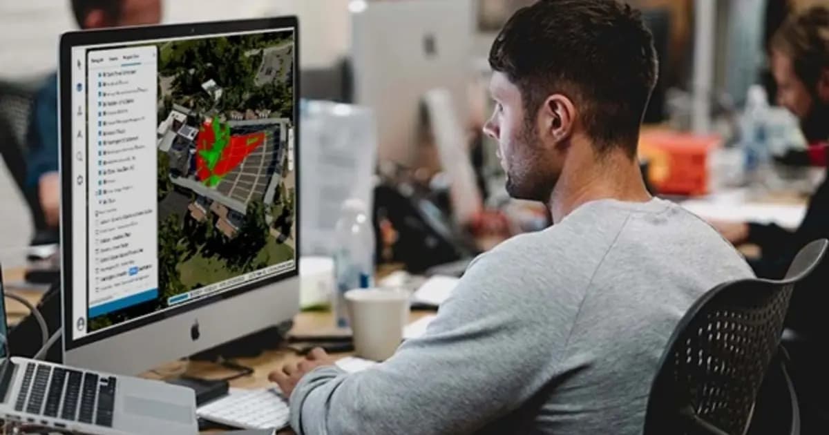
TerraExplorer Fusion — веб-просмотр 3D-геоданных без установки
Веб-версия TerraExplorer: просмотр, измерение и анализ высокодетального 3D-двойника прямо в браузере — без установки, на Windows, Mac, Linux
- Skyline Software
- TerraExplorer Fusion (Viewer / Plus)
SkylineGlobe Server — сервер публикации и потоковой раздачи 3D-геоданных
Приватный облачный сервер для хранения, управления и потоковой раздачи 2D/3D геопространственных данных — совместим с TerraExplorer, Esri, Cesium и QGIS
- Skyline Software
- Сервер публикации и стриминга геоданных
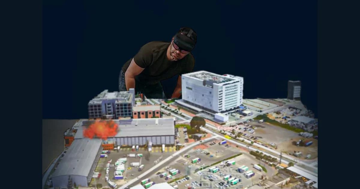
TerraExplorer Mixed Reality — голографическая 3D-модель объекта в HoloLens 2
Расширение TerraExplorer для гарнитур смешанной реальности Microsoft HoloLens 2: до четырёх пользователей одновременно исследуют голографическую 3D-модель объекта, измеряют и анализируют её жестами
- Skyline Software
- TerraExplorer
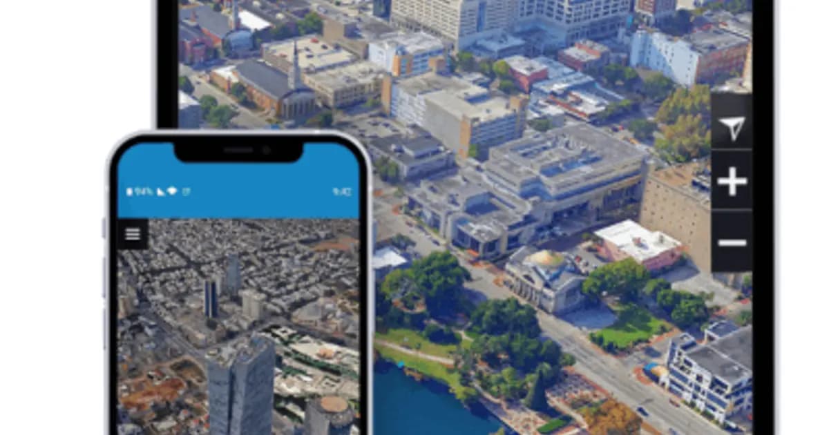
TerraExplorer Mobile — 3D ГИС на планшете и смартфоне в поле
Мобильный доступ к цифровому двойнику объекта: готовый просмотрщик TerraExplorer Fusion Mobile для полевых инженеров или Android SDK для собственных приложений
- Skyline Software
- TerraExplorer Fusion Mobile / Android SDK
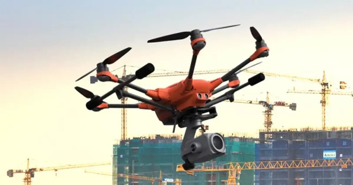
Gaussian Splatting & TrueOrtho — фотореалистичная 3D-визуализация и тру-ортофото
Технология 3D Gaussian Splatting и TrueOrtho нового поколения в PhotoMesh и TerraExplorer: высокодетализированная визуализация сложных объектов, проводов, тонких конструкций и создание точных истинных ортофотопланов
- Skyline Software
- 3D Gaussian Splatting & TrueOrtho Generation
Интерактивная 3D-демонстрация и видео-обзор TerraExplorer
Оцените возможности просмотра, пространственного анализа и модуля Photo Inspector в онлайн 3D-демо или посмотрите видео-уроки
СМОТРЕТЬ ДЕМО ОНЛАЙНЧто такое платформа Skyline
Четыре направления, которые вместе строят и раздают цифровой двойник предприятия / инфраструктуры / города: построение 3D-моделей из фотоснимков, хранение и потоковая раздача геоданных, просмотр и анализ на десктопе, в браузере и на мобильных устройствах, а также голографический просмотр в смешанной реальности.
- •PhotoMesh, TerraBuilder и Gaussian Splatting — построение фотореалистичных 3D-моделей, TrueOrtho и террейн-баз из снимков и рельефных данных
- •SkylineGlobe Server — хранение и потоковая раздача 2D/3D геоданных, совместимость с Esri, Cesium, QGIS
- •TerraExplorer Desktop, Fusion и Mobile — просмотр, измерение и анализ 3D-сцены на десктопе, в браузере и в поле
- •TerraExplorer Mixed Reality — голографический просмотр и совместная работа над 3D-моделью в гарнитурах Microsoft HoloLens 2
Применение
Горнодобывающая промышленность
Мониторинг карьеров, отвалов и складов по данным БПЛА и дронов, учёт объёмов по облаку точек
Энергетика
Цифровой двойник энергообъекта, виртуальная инспекция сооружений и трубопроводов
Строительство и инфраструктура→
Планирование и контроль строительства
Аэрофотосъемка и 3D моделирование→
Получение точных 3D-моделей рельефа и геопространственных данных
Городское планирование и девелопмент→
3D-моделирование городов и застройки
Чрезвычайные ситуации (ЧС)→
Оперативная 3D-оценка зон ЧС и планирование спасательных работ
Точное земледелие→
Анализ угодий, построение DSM/DTM и мониторинг посевов
Оборона и разведка→
3D-визуализация местности и оперативный пространственный анализ
Почему это ценно для промышленности
Виртуальная инспекция
Осмотр конструкций по 3D-модели с точностью до долей миллиметра — без подъёма человека и остановки объекта
Цифровой двойник
Единая наглядная 3D-модель объекта для планирования, мониторинга и совместных решений
Доступ без установки
TerraExplorer Fusion работает в браузере — модель доступна команде и подрядчикам без специализированного ПО
Совместимость
Открытые протоколы и форматы: интеграция с Esri, Cesium, QGIS без дублирования данных
Статьи и практические кейсы Skyline
3D ГИС и цифровые двойники Skyline Software в Казахстане: от маркшейдерии до управления предприятиями
Практическое руководство по внедрению 3D ГИС Skyline Software в Казахстане: фотограмметрия PhotoMesh, 3D Gaussian Splatting, геосервер SkylineGlobe и анализ в TerraExplorer для горнодобывающей промышленности и инфраструктуры.
Подробнее →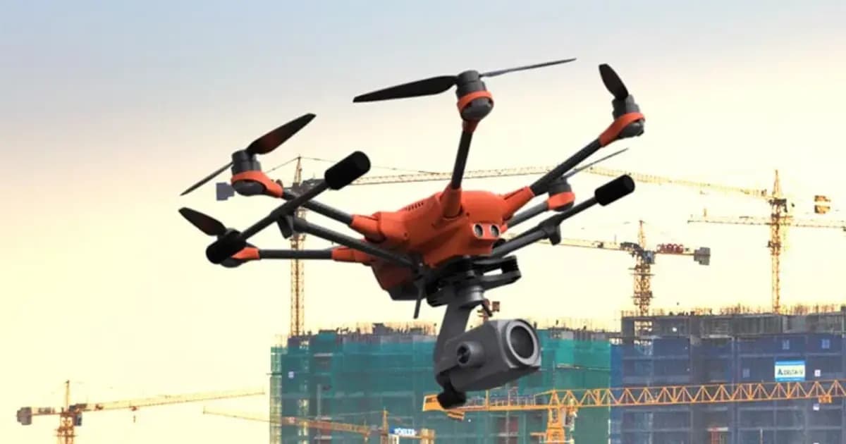
Цифровой двойник карьера: как PhotoMesh и TerraExplorer считают объёмы вскрыши и запасов по дрон-съёмке
Ежемесячная маркшейдерская съёмка карьера — это риск устаревших данных уже на момент отчёта. Разбираем, как связка PhotoMesh, TerraBuilder и TerraExplorer превращает обычную дрон-съёмку в точный цифровой двойник для еженедельного учёта объёмов.
Подробнее →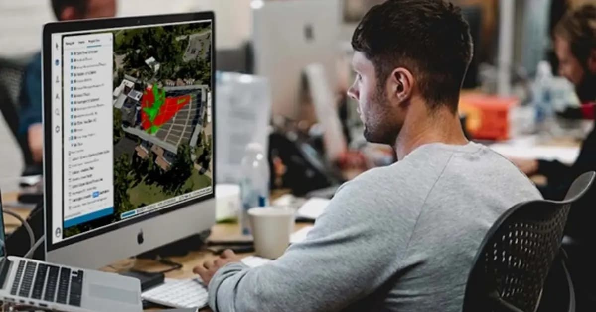
Удалённая инспекция энергообъекта без установки ПО: цифровой двойник в браузере на TerraExplorer Fusion
Подрядчику или удалённому инженеру для осмотра объекта не всегда нужен выезд — если есть актуальный цифровой двойник. Разбираем, как TerraExplorer Fusion даёт браузерный доступ к 3D-модели энергообъекта без установки специализированного ПО.
Подробнее →Часто задаваемые вопросы
Организуем онлайн-семинар по Skyline специально для вашей компании
В формате вебинара покажем построение 3D цифрового двойника по вашим данным съёмки с БПЛА и ответим на вопросы инженеров и маркшейдеров.