

Supply in Kazakhstan
KEG TRK supplies equipment diagnostics solutions (Skyline Software) across Kazakhstan: Almaty, Astana, Karaganda, Ust-Kamenogorsk, Aktobe and other regions. Official warranty, monitoring system design, installation, commissioning and personnel training.
Key features
Applications and resources
Industry solutions, landing pages and articles on SkylineGlobe Server — 3D geodata publishing and streaming server
Typical tasks
- Single access point to the enterprise 3D model for multiple departments
- Publishing a digital twin for collaboration across remote sites
- Integrating geodata with an existing GIS platform (Esri, QGIS)
- A centralized geospatial data catalog for the company
Overview
SkylineGlobe Server is a private cloud (or on-premise) solution for storing, managing and streaming 2D and 3D geospatial data. It publishes every layer type — 3D meshes, point clouds, raster imagery, terrain models and vector features — and makes them accessible to desktop, web and mobile clients without distributing raw files.
Data for every client, in its own format
The server serves not only Skyline's own products (TerraExplorer Desktop, Fusion, Mobile) but third-party platforms too: ArcGIS Earth/Pro/Online via I3S/SLPK and WMS/WMTS, and Cesium and QGIS via 3D Tiles and WFS/WFS-T. For a company where some teams already work in Esri or open GIS tools, that means one source of geodata, no duplication or manual export.
Security and scale
Data is protected at the level of virtual private servers ("sites") — complete separation of layers and administration between clients or departments on a single installation, with its own authentication system or a custom one. Under growing load the server scales in the cloud (AWS, Google Cloud, Azure) with a dynamic cluster and load balancing, or via the managed SkylineCloud service.
Centralized catalog
Every published layer is automatically cataloged with metadata, giving powerful search and organized access — critical when a company has dozens of sites and years of accumulated drone and laser-scan data.
Publishing from TerraExplorer Pro or TerraBuilder is a single operation, and the result becomes immediately available to every client — Desktop, Web (Fusion) and Mobile.
Technical specifications
| Manufacturer | Skyline Software |
| Type | Geodata publishing and streaming server |
| Clients | TerraExplorer, ArcGIS Earth/Pro/Online, Cesium, QGIS |
| Streaming formats | 3D Tiles, I3S/SLPK, WMS/WMTS, WFS/WFS-T |
| Deployment | On-premise or cloud (AWS/Google Cloud/Azure) |
Applications
Manufacturer
Skyline Software
Private cloud server for storing, managing and streaming 2D/3D geospatial data — compatible with TerraExplorer, Esri, Cesium and QGIS
Key specifications
- Manufacturer
- Skyline Software
- Type
- Geodata publishing and streaming server
- Clients
- TerraExplorer, ArcGIS Earth/Pro/Online, Cesium, QGIS
- Streaming formats
- 3D Tiles, I3S/SLPK, WMS/WMTS, WFS/WFS-T
- Deployment
- On-premise or cloud (AWS/Google Cloud/Azure)
Official supplier in Kazakhstan
Related products
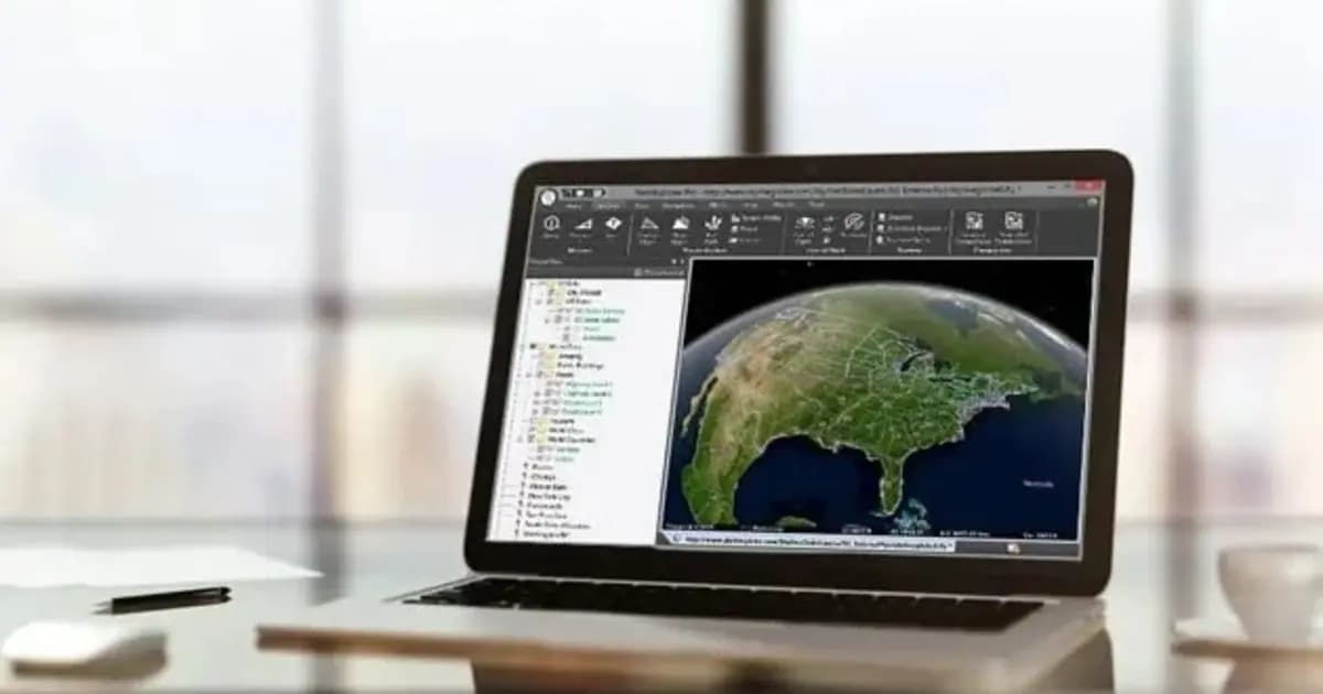
TerraExplorer Desktop — 3D GIS platform and digital twin
Desktop 3D GIS platform for building, viewing and analyzing a site's digital twin: terrain, orthophoto, 3D meshes, BIM/CAD, point clouds — in one scene
- Skyline Software
- TerraExplorer (Viewer / Plus / Pro)

TerraExplorer Fusion — web-based 3D geodata viewer, no install
The web edition of TerraExplorer: view, measure and analyze a high-resolution 3D digital twin right in the browser — no install, on Windows, Mac, Linux
- Skyline Software
- TerraExplorer Fusion (Viewer / Plus)
TerraBuilder — geospatial terrain database creation
Professional-grade tool for merging aerial and satellite imagery and elevation models into a single georeferenced terrain database for TerraExplorer
- Skyline Software
- Terrain database creation software
Need advice?
Our specialists will help you choose the optimal SkylineGlobe Server — 3D geodata publishing and streaming server configuration for your equipment.
Related articles
All articles →Skyline Software 3D GIS & Digital Twins in Kazakhstan: From Surveying to Enterprise Asset Management
Practical guide to implementing Skyline Software 3D GIS in Kazakhstan: PhotoMesh photogrammetry, 3D Gaussian Splatting, SkylineGlobe Server, and TerraExplorer analysis for mining and infrastructure.

Pit Digital Twin: How PhotoMesh and TerraExplorer Calculate Stripping and Stockpile Volumes from Drone Data
A monthly survey crew's pit measurements are already stale by the time the report lands on a chief engineer's desk. Here's how PhotoMesh, TerraBuilder, and TerraExplorer turn routine drone flights into an accurate digital twin for weekly volume tracking.

No-Install Remote Inspection of Power Assets: A Browser-Based Digital Twin with TerraExplorer Fusion
A contractor or remote engineer doesn't always need a site visit to review an asset - not if an up-to-date digital twin exists. Here's how TerraExplorer Fusion gives browser-based access to a power asset's 3D model with no specialized software to install.