Supply in Kazakhstan
KEG TRK supplies equipment diagnostics solutions (Skyline Software) across Kazakhstan: Almaty, Astana, Karaganda, Ust-Kamenogorsk, Aktobe and other regions. Official warranty, monitoring system design, installation, commissioning and personnel training.
Key features
Applications and resources
Industry solutions, landing pages and articles on TerraExplorer Fusion — web-based 3D geodata viewer, no install
Typical tasks
- Digital-twin access for staff with no software to install
- Remote collaboration for distributed teams and contractors
- Public geoportals for municipal and infrastructure projects
- Quick review of an inspection model from a mobile device or a borrowed computer
Overview
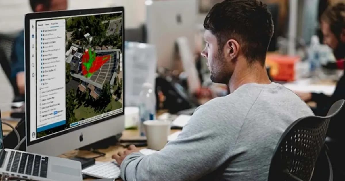
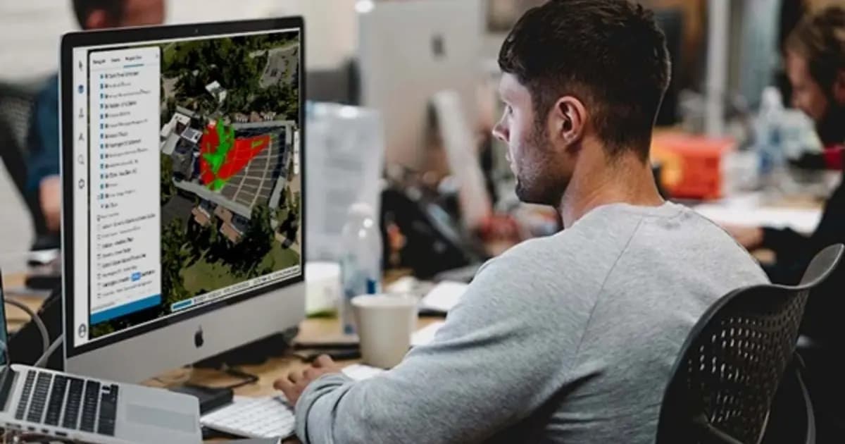
TerraExplorer Fusion is the web edition of the TerraExplorer platform: the same viewing and analysis environment for high-detail 3D geodata, entirely in the browser, with no client install. Layers — terrain, imagery, 3D meshes, BIM/CAD models, point clouds, vector objects — load directly from SkylineGlobe Server or other geodata servers.
Two editions for different needs
Viewer covers viewing and analyzing already-published data: measurements, line of sight, terrain profile, time-based model comparison. Plus extends this with loading any layer type from the server, editing vector objects with autosave, and tighter integration with SkylineGlobe Server for direct project publishing.
The same inspector as the desktop
The key tool lets you view a PhotoMesh 3D model alongside its source photos, right in the browser, with no loss of detail or distortion. That lets a field engineer or contractor verify an asset's condition remotely, from any device, with no specialized software to install.
Cross-platform by design
Fusion runs on Windows, Mac and Linux in any modern browser, removing the entry barrier for teams that use different hardware — from engineers on workstations to managers who need a quick model overview from a laptop out of the office.
For companies with distributed sites and contractors, Fusion is the fastest way to give people access to an asset's digital twin without requiring the full desktop client.
Technical specifications
| Manufacturer | Skyline Software |
| Line | TerraExplorer Fusion (Viewer / Plus) |
| Type | Web 3D GIS client |
| Requirements | A modern browser, access to SkylineGlobe Server |
| Formats | 3D mesh, point cloud, imagery, elevation, feature layers |
Applications
Manufacturer
Skyline Software
The web edition of TerraExplorer: view, measure and analyze a high-resolution 3D digital twin right in the browser — no install, on Windows, Mac, Linux
Key specifications
- Manufacturer
- Skyline Software
- Line
- TerraExplorer Fusion (Viewer / Plus)
- Type
- Web 3D GIS client
- Requirements
- A modern browser, access to SkylineGlobe Server
- Formats
- 3D mesh, point cloud, imagery, elevation, feature layers
Official supplier in Kazakhstan
Related products

SkylineGlobe Server — 3D geodata publishing and streaming server
Private cloud server for storing, managing and streaming 2D/3D geospatial data — compatible with TerraExplorer, Esri, Cesium and QGIS
- Skyline Software
- Geodata publishing and streaming server
TerraExplorer Desktop — 3D GIS platform and digital twin
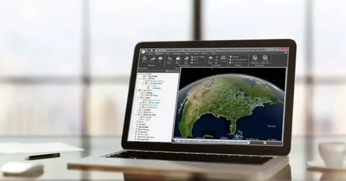
Desktop 3D GIS platform for building, viewing and analyzing a site's digital twin: terrain, orthophoto, 3D meshes, BIM/CAD, point clouds — in one scene
- Skyline Software
- TerraExplorer (Viewer / Plus / Pro)

PhotoMesh — automated photogrammetry and 3D reconstruction
Fully automated photogrammetry: builds photo-realistic 3D meshes, orthophotos and point clouds from drone or ground photos, with no manual processing
- Skyline Software
- Photogrammetric 3D reconstruction software
Need advice?
Our specialists will help you choose the optimal TerraExplorer Fusion — web-based 3D geodata viewer, no install configuration for your equipment.