
KEG TRK partner · Skyline Kazakhstan
Skyline Software in Kazakhstan — 3D GIS & Digital Twins
Skyline Software turns aerial and UAV imagery, laser scans and mapping data into a photo-realistic 3D digital twin of a site — a mine, a plant, infrastructure or an entire city
KEG TRK is Skyline Software's partner in Kazakhstan: software supply, deployment consulting, and integration with existing UAV and laser-scan data.
We can organize an online Skyline seminar tailored to your company
As a webinar — we'll show how to build a 3D digital twin from your own UAV survey data and answer your engineers' and surveyors' questions.
Skyline Software products
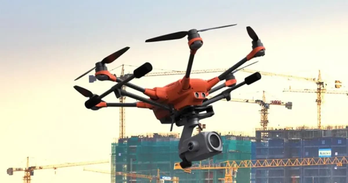
PhotoMesh — automated photogrammetry and 3D reconstruction
Fully automated photogrammetry: builds photo-realistic 3D meshes, orthophotos and point clouds from drone or ground photos, with no manual processing
- Skyline Software
- Photogrammetric 3D reconstruction software
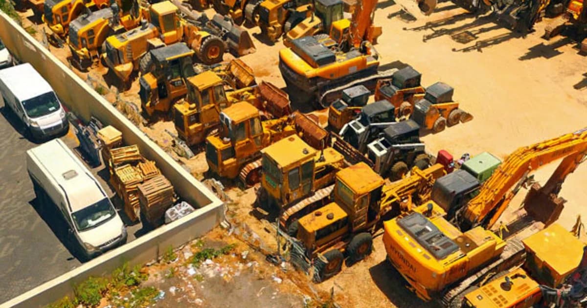
PhotoMesh Production — turnkey cloud photogrammetry processing
A SkylineCloud service: drone and aerial imagery processed in PhotoMesh without buying software or building your own compute — fully automated on AWS, or handled by Skyline's photogrammetry experts
- Skyline Software
- SkylineCloud (built on AWS)
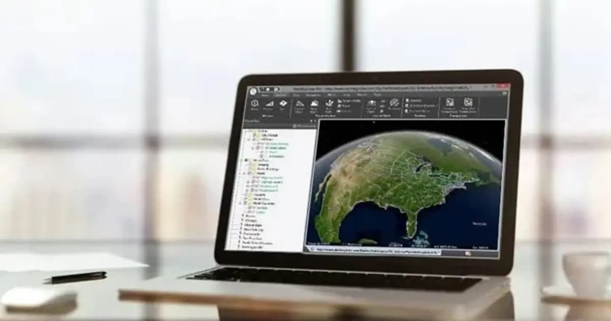
TerraExplorer Desktop — 3D GIS platform and digital twin
Desktop 3D GIS platform for building, viewing and analyzing a site's digital twin: terrain, orthophoto, 3D meshes, BIM/CAD, point clouds — in one scene
- Skyline Software
- TerraExplorer (Viewer / Plus / Pro)
TerraBuilder — geospatial terrain database creation
Professional-grade tool for merging aerial and satellite imagery and elevation models into a single georeferenced terrain database for TerraExplorer
- Skyline Software
- Terrain database creation software
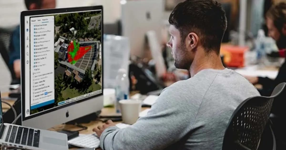
TerraExplorer Fusion — web-based 3D geodata viewer, no install
The web edition of TerraExplorer: view, measure and analyze a high-resolution 3D digital twin right in the browser — no install, on Windows, Mac, Linux
- Skyline Software
- TerraExplorer Fusion (Viewer / Plus)

SkylineGlobe Server — 3D geodata publishing and streaming server
Private cloud server for storing, managing and streaming 2D/3D geospatial data — compatible with TerraExplorer, Esri, Cesium and QGIS
- Skyline Software
- Geodata publishing and streaming server
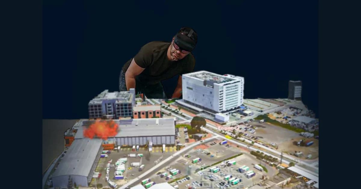
TerraExplorer Mixed Reality — a holographic 3D site model in HoloLens 2
A TerraExplorer extension for Microsoft HoloLens 2 mixed reality headsets: up to four users simultaneously explore a holographic 3D site model, measuring and analyzing it with gestures
- Skyline Software
- TerraExplorer
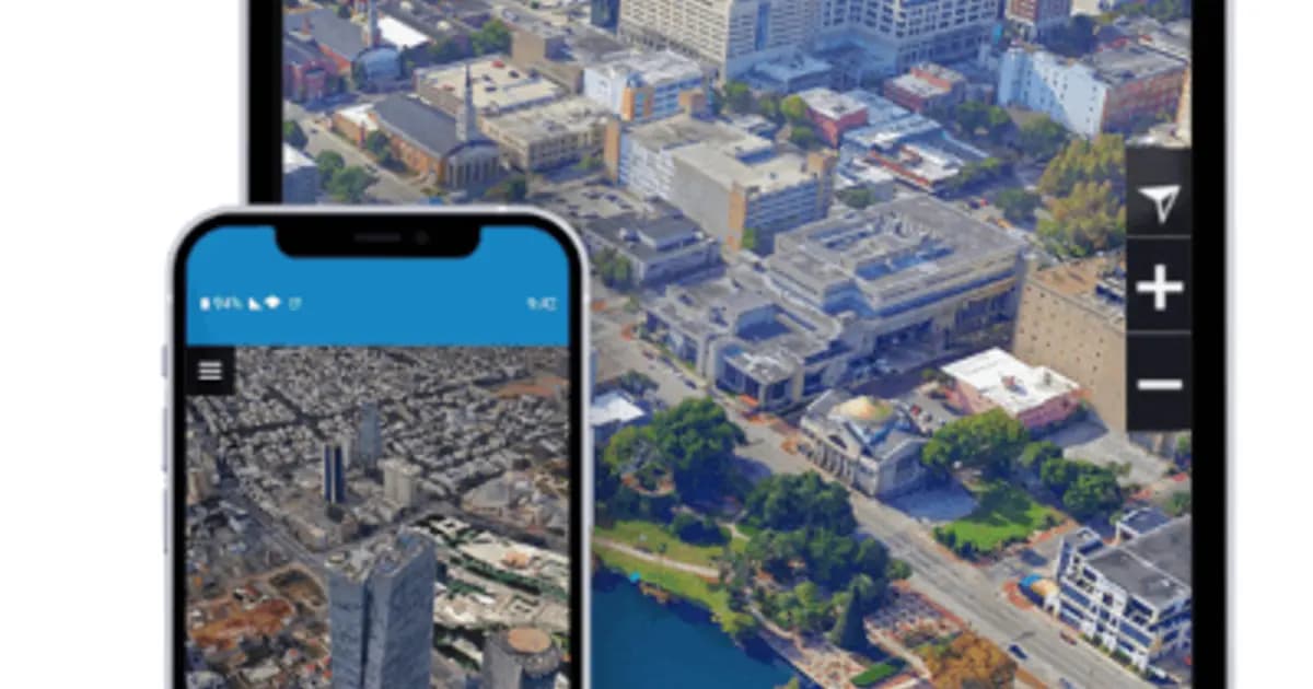
TerraExplorer Mobile — 3D GIS on tablet and phone in the field
Mobile access to a site's digital twin: the ready-made TerraExplorer Fusion Mobile viewer for field engineers, or the Android SDK for custom apps
- Skyline Software
- TerraExplorer Fusion Mobile / Android SDK
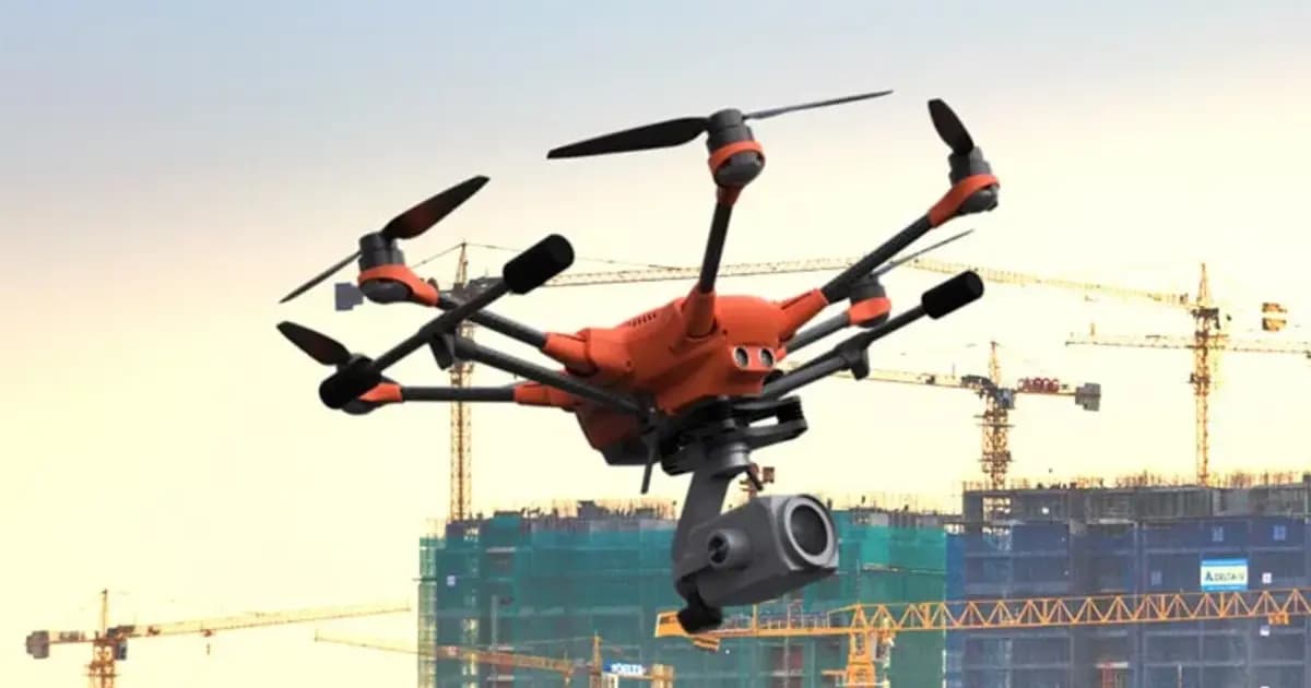
Gaussian Splatting & TrueOrtho — photorealistic 3D visualization and true orthophoto
Next-generation 3D Gaussian Splatting and TrueOrtho technology in PhotoMesh and TerraExplorer: ultra-detailed photorealistic visualization of complex objects, wires, fine structures, and high-precision true orthophotos
- Skyline Software
- 3D Gaussian Splatting & TrueOrtho Generation
Interactive 3D TerraExplorer Demo & Video Overview
Experience 3D visualization, spatial analysis and Photo Inspector module in an online demo or watch video tutorials
WATCH DEMO ONLINEWhat the Skyline platform is
Four areas that together build and deliver a digital twin of an enterprise / infrastructure / city: building 3D models from photos, storing and streaming geodata, viewing and analyzing on desktop, browser and mobile, and holographic viewing in mixed reality.
- •PhotoMesh, TerraBuilder and Gaussian Splatting — building photo-realistic 3D models, TrueOrtho and terrain databases from imagery and elevation data
- •SkylineGlobe Server — storing and streaming 2D/3D geodata, compatible with Esri, Cesium, QGIS
- •TerraExplorer Desktop, Fusion and Mobile — viewing, measuring and analyzing the 3D scene on desktop, in the browser and in the field
- •TerraExplorer Mixed Reality — holographic viewing and collaborative work on the 3D model in Microsoft HoloLens 2 headsets
Applications
Mining
UAV monitoring of open-pit mines, dumps and stockpiles, volume calculation from point clouds
Power generation
Digital twin of a power facility, virtual inspection of structures and pipelines
Construction and infrastructure→
Planning and control of construction projects
Aerial survey and 3D modeling→
Generation of precise 3D terrain models and spatial data
City planning and development→
3D modeling of cities and urban development
Emergency Response→
Rapid 3D assessment of emergency zones and rescue planning
Precision agriculture→
Farmland analysis, DSM/DTM generation and crop monitoring
Defense and intelligence→
3D terrain visualization and operational spatial analysis
Why it matters for industry
Virtual inspection
Inspect structures via a 3D model accurate to fractions of a millimeter — no climbing, no shutdown
Digital twin
A single visual 3D model of the site for planning, monitoring and shared decisions
No-install access
TerraExplorer Fusion runs in the browser — the model is accessible to teams and contractors with no specialized software
Interoperability
Open protocols and formats: integration with Esri, Cesium, QGIS with no data duplication
Skyline Articles & Case Studies
Skyline Software 3D GIS & Digital Twins in Kazakhstan: From Surveying to Enterprise Asset Management
Practical guide to implementing Skyline Software 3D GIS in Kazakhstan: PhotoMesh photogrammetry, 3D Gaussian Splatting, SkylineGlobe Server, and TerraExplorer analysis for mining and infrastructure.
Learn more →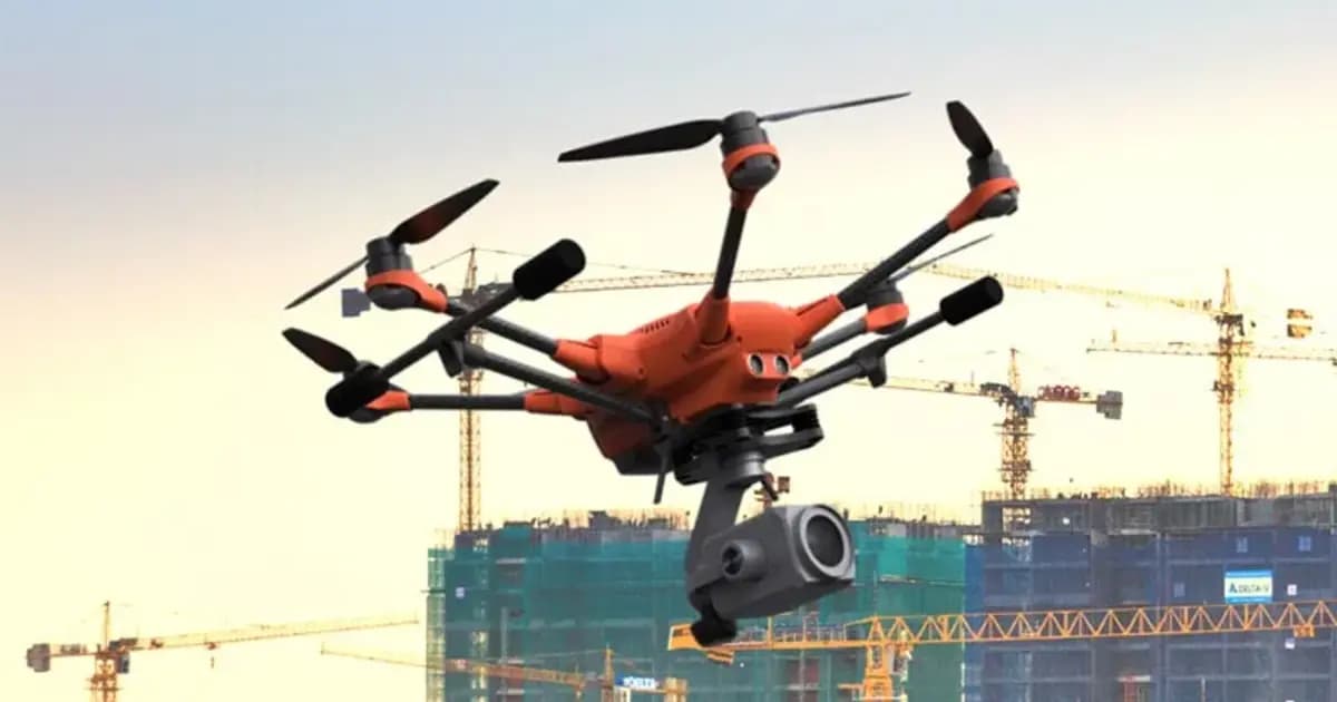
Pit Digital Twin: How PhotoMesh and TerraExplorer Calculate Stripping and Stockpile Volumes from Drone Data
A monthly survey crew's pit measurements are already stale by the time the report lands on a chief engineer's desk. Here's how PhotoMesh, TerraBuilder, and TerraExplorer turn routine drone flights into an accurate digital twin for weekly volume tracking.
Learn more →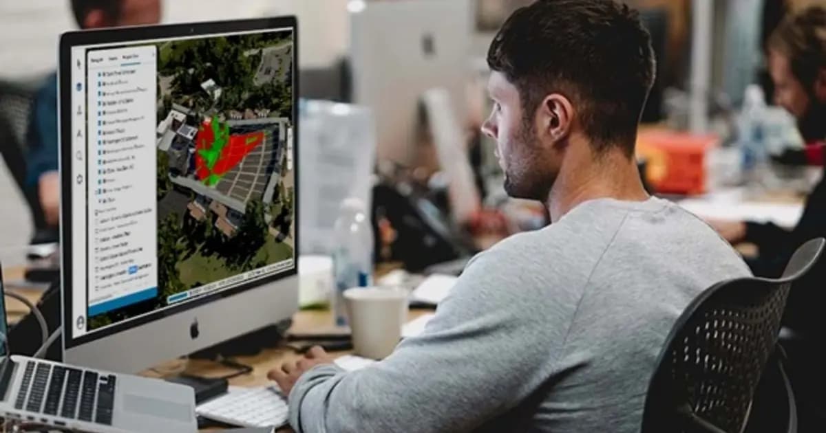
No-Install Remote Inspection of Power Assets: A Browser-Based Digital Twin with TerraExplorer Fusion
A contractor or remote engineer doesn't always need a site visit to review an asset - not if an up-to-date digital twin exists. Here's how TerraExplorer Fusion gives browser-based access to a power asset's 3D model with no specialized software to install.
Learn more →Frequently asked questions
We can organize an online Skyline seminar tailored to your company
As a webinar — we'll show how to build a 3D digital twin from your own UAV survey data and answer your engineers' and surveyors' questions.