
Supply in Kazakhstan
KEG TRK supplies equipment diagnostics solutions (Skyline Software) across Kazakhstan: Almaty, Astana, Karaganda, Ust-Kamenogorsk, Aktobe and other regions. Official warranty, monitoring system design, installation, commissioning and personnel training.
Key features
Applications and resources
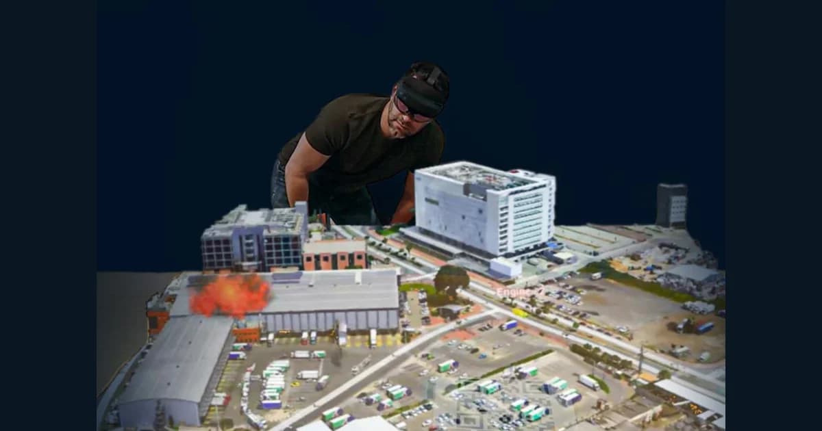
Industry solutions, landing pages and articles on TerraExplorer Mixed Reality — a holographic 3D site model in HoloLens 2
Typical tasks
- Emergency response and operational planning on a holographic site model
- Collaborative review of city planning and development design decisions
- Staff training and briefing on a volumetric site model
- Defense and intelligence tasks with collaborative terrain analysis
- A vivid presentation of a pit, plant, or infrastructure digital twin
Overview
TerraExplorer Mixed Reality brings a Skyline TerraExplorer 3D scene into a Microsoft HoloLens 2 mixed reality headset — terrain, imagery, 3D mesh, BIM/CAD models, point clouds, and vector layers become a volumetric hologram on a virtual table, whose location is set simply by placing a QR marker.
Collaborating on one model
Up to four participants can join the holographic scene at once — everyone sees the same 3D model and each other's movements. This suits operational command centers, project reviews, and training: decisions get made not over a drawing on a screen, but around a volumetric model of the site that can be walked around from every side.
Gesture-based measurement and analysis
A virtual control panel with General, Navigate, Locations, Presentations, and Layers tabs activates with a pinch gesture or a direct touch in mid-air. The same analysis tools available in TerraExplorer Desktop are here too: distance, area, and volume measurement, terrain profile, viewshed, shadow, and slope analysis — performed right above the hologram, in three-dimensional space.
Where it's used
For industrial sites and infrastructure projects, TerraExplorer Mixed Reality provides a vivid planning and response tool for a pit, construction site, or production facility: a holographic model of the site helps teams reach decisions faster when reviewing emergency scenarios, planning site development, or training staff — before ever stepping on location.
It ships either as a software extension for HoloLens 2 devices already on hand, or as a turnkey kit with hardware — sized for defense, municipal, and industrial customers alike.
Technical specifications
| Manufacturer | Skyline Software |
| Line | TerraExplorer |
| Headset | Microsoft HoloLens 2 |
| Concurrent users | Up to 4 |
| Controls | Gestures, head tracking |
| Delivery | Turnkey kit (software + hardware) or software only |
Applications
Manufacturer
Skyline Software
A TerraExplorer extension for Microsoft HoloLens 2 mixed reality headsets: up to four users simultaneously explore a holographic 3D site model, measuring and analyzing it with gestures
Key specifications
- Manufacturer
- Skyline Software
- Line
- TerraExplorer
- Headset
- Microsoft HoloLens 2
- Concurrent users
- Up to 4
- Controls
- Gestures, head tracking
Official supplier in Kazakhstan
Related products
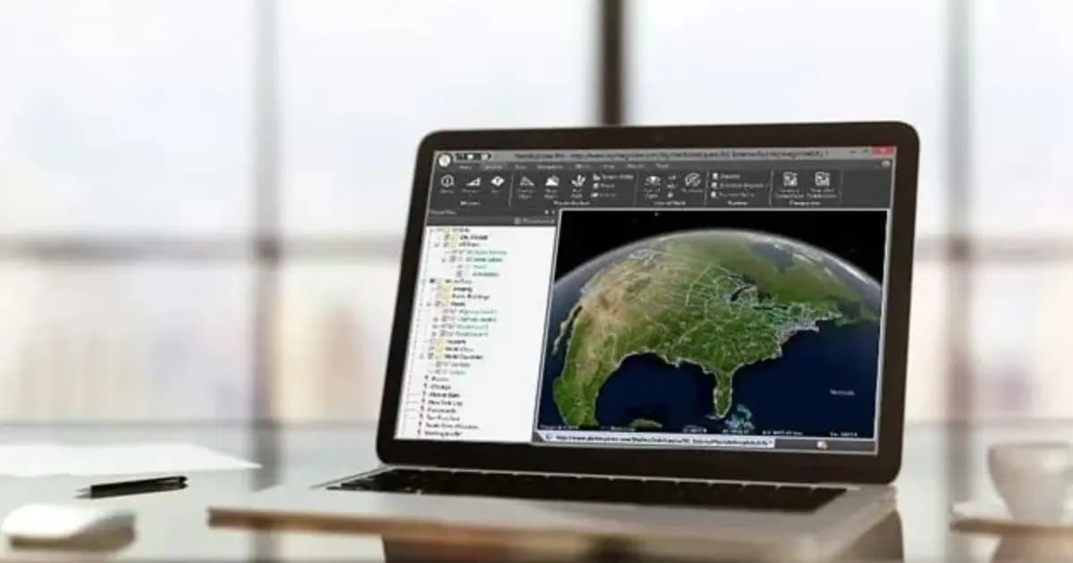
TerraExplorer Desktop — 3D GIS platform and digital twin
Desktop 3D GIS platform for building, viewing and analyzing a site's digital twin: terrain, orthophoto, 3D meshes, BIM/CAD, point clouds — in one scene
- Skyline Software
- TerraExplorer (Viewer / Plus / Pro)
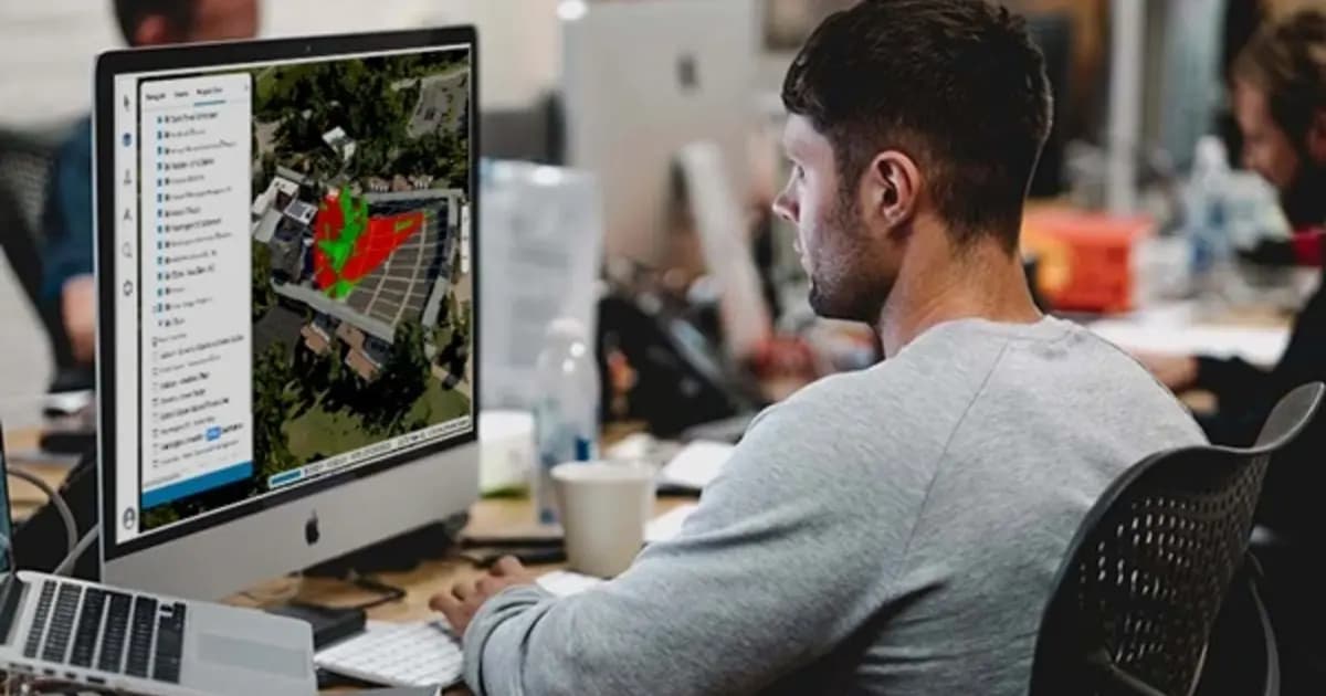
TerraExplorer Fusion — web-based 3D geodata viewer, no install
The web edition of TerraExplorer: view, measure and analyze a high-resolution 3D digital twin right in the browser — no install, on Windows, Mac, Linux
- Skyline Software
- TerraExplorer Fusion (Viewer / Plus)
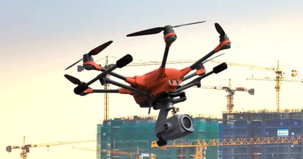
PhotoMesh — automated photogrammetry and 3D reconstruction
Fully automated photogrammetry: builds photo-realistic 3D meshes, orthophotos and point clouds from drone or ground photos, with no manual processing
- Skyline Software
- Photogrammetric 3D reconstruction software
Need advice?
Our specialists will help you choose the optimal TerraExplorer Mixed Reality — a holographic 3D site model in HoloLens 2 configuration for your equipment.