
Supply in Kazakhstan
KEG TRK supplies equipment diagnostics solutions (Skyline Software) across Kazakhstan: Almaty, Astana, Karaganda, Ust-Kamenogorsk, Aktobe and other regions. Official warranty, monitoring system design, installation, commissioning and personnel training.
Key features
Applications and resources
Industry solutions, landing pages and articles on PhotoMesh — automated photogrammetry and 3D reconstruction
Typical tasks
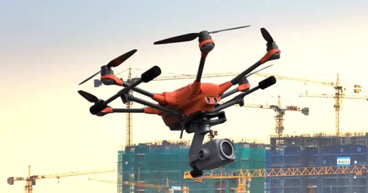
- Drone inspection of open pits, waste dumps and industrial sites
- Virtual condition assessment of buildings, pipe racks, tanks and pipelines
- Volumetric surveys of stockpiles and dumps from point-cloud data
- Mapping deposits and linear-asset routes
- Source data for an enterprise digital twin in TerraExplorer
Overview
PhotoMesh is a fully automated photogrammetry engine: it turns a set of photos (drone, ground camera, or a mix) into a photo-realistic 3D model of a site or asset. Computer-vision and computational-geometry algorithms find the connections between photos, reconstruct geometry and apply texturing automatically — no manual stitching.
Two scales of work
- 3D mapping — city-, pit- or infrastructure-scale models with survey-grade georeferencing, for urban planning, infrastructure management and 3D GIS;
- Digital twin for inspection (close-range) — models accurate to fractions of a millimeter for remote condition monitoring of structures, removing the risk of human error and the cost of traditional on-site inspection.
Output exports to a wide range of formats — 3D mesh, point cloud, orthophoto, digital surface and terrain models (DSM/DTM) — for use in TerraExplorer, third-party GIS, or a company's own ML/AI analysis tools.
Performance and scale
PhotoMesh is built for projects of any size, from a single asset to hundreds of thousands of photos. Its tiled architecture and distributed-processing support (across multiple fuser machines or the cloud) let it process tens of square kilometers a day, and the REST API allows it to be wired into an automated production pipeline with no operator intervention.
For industrial sites in Kazakhstan, PhotoMesh covers a job that used to require costly field survey or laser scanning: regular, repeatable 3D monitoring of pits, dumps, sites and linear assets from ordinary drone imagery.
Technical specifications
| Manufacturer | Skyline Software |
| Type | Photogrammetric 3D reconstruction software |
| Input data | Photos (JPG, TIFF), video, Lidar (LAS, E57), multispectral imagery |
| Output formats | 3D mesh, point cloud, orthophoto, DSM, DTM/DEM |
| Processing | Local PC, cluster (fuser), cloud |
Applications
Manufacturer
Skyline Software
Fully automated photogrammetry: builds photo-realistic 3D meshes, orthophotos and point clouds from drone or ground photos, with no manual processing
Key specifications
- Manufacturer
- Skyline Software
- Type
- Photogrammetric 3D reconstruction software
- Input data
- Photos (JPG, TIFF), video, Lidar (LAS, E57), multispectral imagery
- Output formats
- 3D mesh, point cloud, orthophoto, DSM, DTM/DEM
- Processing
- Local PC, cluster (fuser), cloud
Official supplier in Kazakhstan
Related products
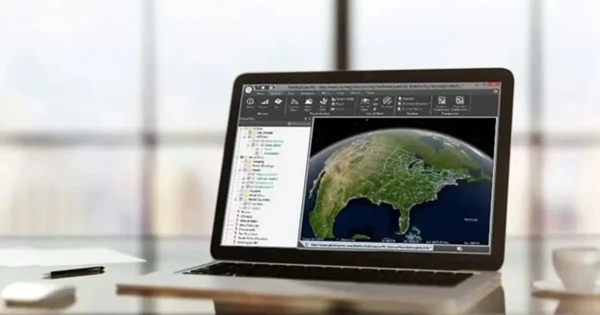
TerraExplorer Desktop — 3D GIS platform and digital twin
Desktop 3D GIS platform for building, viewing and analyzing a site's digital twin: terrain, orthophoto, 3D meshes, BIM/CAD, point clouds — in one scene
- Skyline Software
- TerraExplorer (Viewer / Plus / Pro)
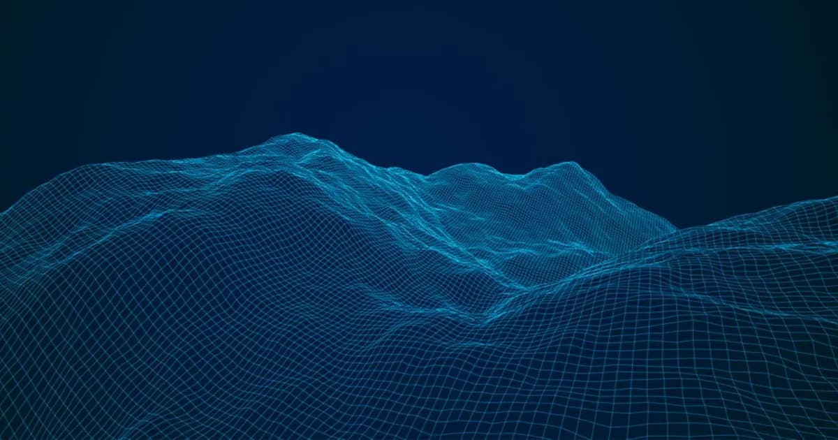
TerraBuilder — geospatial terrain database creation
Professional-grade tool for merging aerial and satellite imagery and elevation models into a single georeferenced terrain database for TerraExplorer
- Skyline Software
- Terrain database creation software

SkylineGlobe Server — 3D geodata publishing and streaming server
Private cloud server for storing, managing and streaming 2D/3D geospatial data — compatible with TerraExplorer, Esri, Cesium and QGIS
- Skyline Software
- Geodata publishing and streaming server
Need advice?
Our specialists will help you choose the optimal PhotoMesh — automated photogrammetry and 3D reconstruction configuration for your equipment.
Related articles
All articles →Skyline Software 3D GIS & Digital Twins in Kazakhstan: From Surveying to Enterprise Asset Management
Practical guide to implementing Skyline Software 3D GIS in Kazakhstan: PhotoMesh photogrammetry, 3D Gaussian Splatting, SkylineGlobe Server, and TerraExplorer analysis for mining and infrastructure.
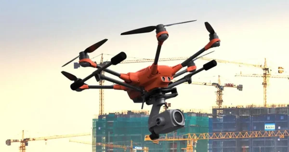
Pit Digital Twin: How PhotoMesh and TerraExplorer Calculate Stripping and Stockpile Volumes from Drone Data
A monthly survey crew's pit measurements are already stale by the time the report lands on a chief engineer's desk. Here's how PhotoMesh, TerraBuilder, and TerraExplorer turn routine drone flights into an accurate digital twin for weekly volume tracking.