
Supply in Kazakhstan
KEG TRK supplies equipment diagnostics solutions (Skyline Software) across Kazakhstan: Almaty, Astana, Karaganda, Ust-Kamenogorsk, Aktobe and other regions. Official warranty, monitoring system design, installation, commissioning and personnel training.
Key features
Applications and resources
Industry solutions, landing pages and articles on TerraBuilder — geospatial terrain database creation
Typical tasks
- Building a unified map base for a deposit or region of operation
- Merging imagery from different survey dates to monitor site changes
- Producing the base layer for a digital twin in TerraExplorer
- Publishing an up-to-date map backdrop for distributed sites
Overview
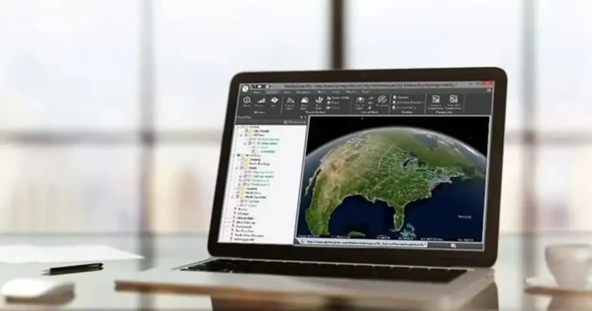
TerraBuilder merges disparate geospatial data — aerial photos, satellite imagery and digital elevation models of varying size and resolution — into a single, geometrically accurate terrain database. The result is used locally in TerraExplorer or published directly to SkylineGlobe Server for streaming to remote clients.
Load, adjust, publish
TerraBuilder's workflow centers on three steps: loading imagery and elevation data in various formats, precisely aligning it (cropping, correcting, matching georeferences), and assembling the final multi-resolution database. For projects where source data is constantly updated, TerraBuilder generates optimized formats for on-the-fly, server-side terrain generation — no need to rebuild the whole database on every update.
Interoperability
Extensive plugin support means data can be loaded from virtually any common format or server — TIFF, ERDAS IMAGINE, MrSID, JPEG2000, plus direct connections to Oracle Spatial, ECW Image Web Server and ArcSDE Raster Server — simplifying integration with an enterprise's existing geodata.
For companies with multiple sites — mines, route segments, distributed infrastructure — TerraBuilder provides one shared map base that the whole Skyline line-up then draws on, from desktop viewing in TerraExplorer to web access via SkylineGlobe Server.
Technical specifications
| Manufacturer | Skyline Software |
| Type | Terrain database creation software |
| Formats | TIFF, ERDAS IMAGINE, MrSID, JPEG2000 |
| Data servers | Oracle Spatial, ECW Image Web Server, ArcSDE Raster Server |
| Output | Multi-resolution georeferenced terrain database |
Applications
Manufacturer
Skyline Software
Professional-grade tool for merging aerial and satellite imagery and elevation models into a single georeferenced terrain database for TerraExplorer
Key specifications
- Manufacturer
- Skyline Software
- Type
- Terrain database creation software
- Formats
- TIFF, ERDAS IMAGINE, MrSID, JPEG2000
- Data servers
- Oracle Spatial, ECW Image Web Server, ArcSDE Raster Server
- Output
- Multi-resolution georeferenced terrain database
Official supplier in Kazakhstan
Related products
TerraExplorer Desktop — 3D GIS platform and digital twin
Desktop 3D GIS platform for building, viewing and analyzing a site's digital twin: terrain, orthophoto, 3D meshes, BIM/CAD, point clouds — in one scene
- Skyline Software
- TerraExplorer (Viewer / Plus / Pro)

SkylineGlobe Server — 3D geodata publishing and streaming server
Private cloud server for storing, managing and streaming 2D/3D geospatial data — compatible with TerraExplorer, Esri, Cesium and QGIS
- Skyline Software
- Geodata publishing and streaming server

PhotoMesh — automated photogrammetry and 3D reconstruction
Fully automated photogrammetry: builds photo-realistic 3D meshes, orthophotos and point clouds from drone or ground photos, with no manual processing
- Skyline Software
- Photogrammetric 3D reconstruction software
Need advice?
Our specialists will help you choose the optimal TerraBuilder — geospatial terrain database creation configuration for your equipment.