
Supply in Kazakhstan
KEG TRK supplies equipment diagnostics solutions (Skyline Software) across Kazakhstan: Almaty, Astana, Karaganda, Ust-Kamenogorsk, Aktobe and other regions. Official warranty, monitoring system design, installation, commissioning and personnel training.
Key features
Applications and resources
Industry solutions, landing pages and articles on PhotoMesh Production — turnkey cloud photogrammetry processing
Typical tasks
- One-off or recurring processing of large drone imagery volumes without a PhotoMesh license
- Projects with non-standard cameras or combined photogrammetry and Lidar capture
- A first photogrammetry project for a survey or engineering company
- Peak workloads when in-house compute capacity isn't enough
Overview
PhotoMesh Production is a SkylineCloud service for anyone who needs the output of photogrammetric processing without buying and running the PhotoMesh software itself. Imagery from a drone, aircraft, or ground-based camera goes into Skyline's AWS-based cloud, and a finished 3D model comes back in the format you need.
Two ways to get it done
Automated processing runs through a REST API: source data is pulled straight from the customer's own cloud storage (AWS, Google Cloud, Azure), processed on SkylineCloud's scalable compute, and published back — with no Skyline operator involved. This suits recurring, repeatable workloads.
Premium processing is handled at Skyline's US production facility by its own photogrammetry team — for projects with non-standard cameras, projects combining photogrammetry with Lidar scanning, aerial and ground capture in a single project, or customers who want expert review of the result.
When it beats running your own PhotoMesh
If your imagery volume is irregular, the project is one-off, or you need to get started quickly without deploying your own infrastructure, the cloud service removes the need to buy PhotoMesh licenses and keep a compute cluster idle between projects. SkylineCloud's compute scales from a few machines to thousands, so even a large-area project finishes in a matter of hours.
Deliverables — 3D mesh, orthophoto, digital surface and terrain models, point clouds — can be published straight to the SkylineGlobe Hosting service for browser-based team access, with no server of your own to run.
Technical specifications
| Manufacturer | Skyline Software |
| Platform | SkylineCloud (built on AWS) |
| Modes | Automated (REST API) and premium (handled by Skyline experts) |
| Input data | Drone and aerial imagery, ground-based photos, Lidar |
| Output formats | 3D mesh, orthophoto, DSM/DTM, point cloud |
Applications
Manufacturer
Skyline Software
A SkylineCloud service: drone and aerial imagery processed in PhotoMesh without buying software or building your own compute — fully automated on AWS, or handled by Skyline's photogrammetry experts
Key specifications
- Manufacturer
- Skyline Software
- Platform
- SkylineCloud (built on AWS)
- Modes
- Automated (REST API) and premium (handled by Skyline experts)
- Input data
- Drone and aerial imagery, ground-based photos, Lidar
- Output formats
- 3D mesh, orthophoto, DSM/DTM, point cloud
Official supplier in Kazakhstan
Related products
PhotoMesh — automated photogrammetry and 3D reconstruction
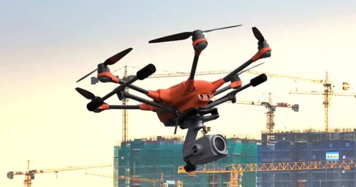
Fully automated photogrammetry: builds photo-realistic 3D meshes, orthophotos and point clouds from drone or ground photos, with no manual processing
- Skyline Software
- Photogrammetric 3D reconstruction software

SkylineGlobe Server — 3D geodata publishing and streaming server
Private cloud server for storing, managing and streaming 2D/3D geospatial data — compatible with TerraExplorer, Esri, Cesium and QGIS
- Skyline Software
- Geodata publishing and streaming server
TerraBuilder — geospatial terrain database creation
Professional-grade tool for merging aerial and satellite imagery and elevation models into a single georeferenced terrain database for TerraExplorer
- Skyline Software
- Terrain database creation software
Need advice?
Our specialists will help you choose the optimal PhotoMesh Production — turnkey cloud photogrammetry processing configuration for your equipment.